


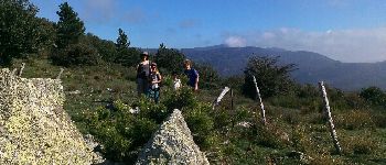
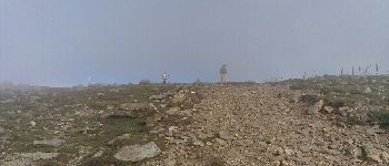
Puig Neuios depuis le col de l'Ouillat

norbertmarteau
User
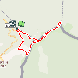

Length
8.5 km

Max alt
1250 m

Uphill gradient
401 m
Km-Effort
13.9 km

Min alt
895 m

Downhill gradient
401 m
Boucle
Yes
Creation date :
2014-12-10 00:00:00.0
Updated on :
2014-12-10 00:00:00.0
3h17
Difficulty : Easy

FREE GPS app for hiking
 SityTrail
IGN / Geographical institutes
SityTrail Plus
The world is yours!
About
Trail Walking of 8.5 km to be discovered at Occitania, Pyrénées-Orientales, L'Albère. This trail is proposed by norbertmarteau.
Description
Très variés, mi ombre, mi soleil. Magnifique
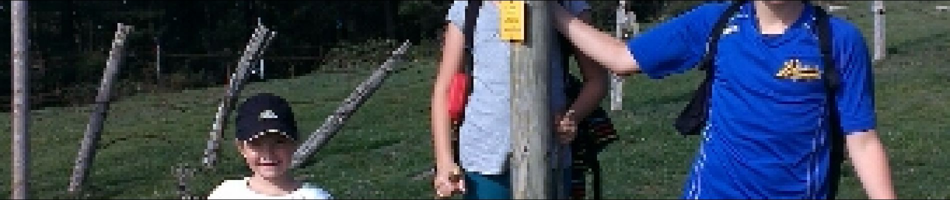
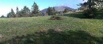
Photos


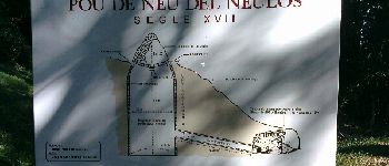
Points of interest


Positioning
Country:
France
Region :
Occitania
Department/Province :
Pyrénées-Orientales
Municipality :
L'Albère
Location:
Unknown
Start:(Dec)
Start:(UTM)
493635 ; 4702979 (31T) N.
Comments