


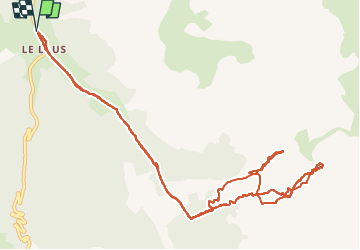

10.8 km | 26 km-effort

User


FREE GPS app for hiking
 SityTrail
IGN / Geographical institutes
SityTrail World
The world is yours!
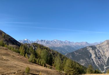
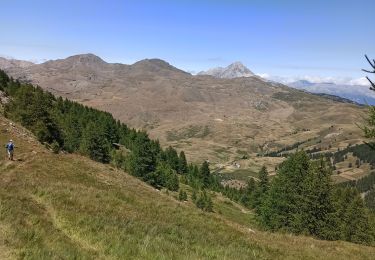
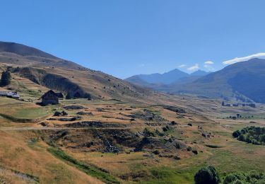
Trail Touring skiing of 14.3 km to be discovered at Provence-Alpes-Côte d'Azur, Hautes-Alpes, Cervières. This trail is proposed by nadd73.
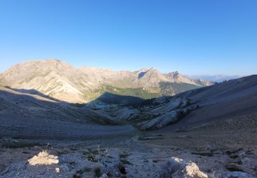
Départ de Laus
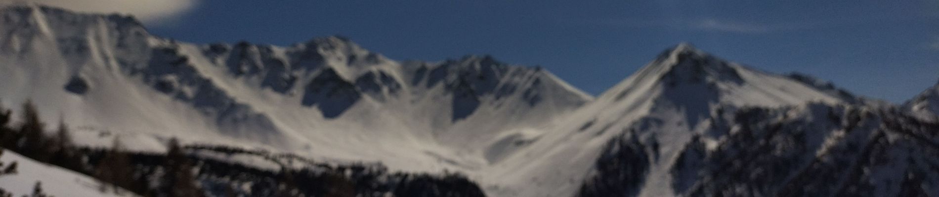
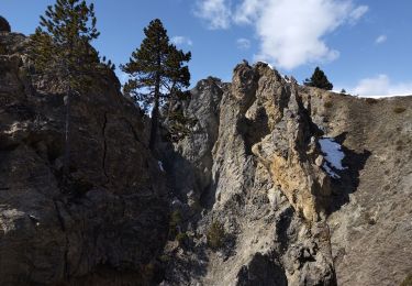
au col beaucoup de vent.
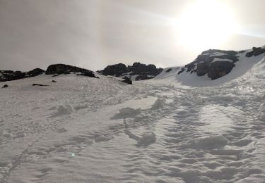
Descente et j'ai vu un couloir Sud Ouest donc je suis montée mais j'avais oublié les crampons pour monter plus haut.
je pense que ce couloir doit être super.
Je mets moyen pour le morceau de couloir que j'ai fait sinon c'est facile


Walking

Walking

Snowshoes
Touring skiing
Mountain bike
Walking
Walking
Walking
Walking