


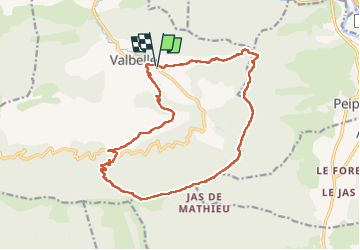

16 km | 24 km-effort

User


FREE GPS app for hiking
 SityTrail
IGN / Geographical institutes
SityTrail World
The world is yours!
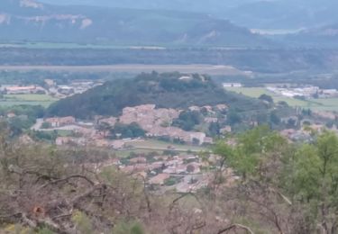
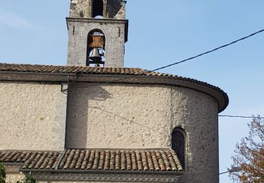
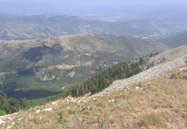
Trail Walking of 18.4 km to be discovered at Provence-Alpes-Côte d'Azur, Alpes-de-Haute-Provence, Valbelle. This trail is proposed by marie04.
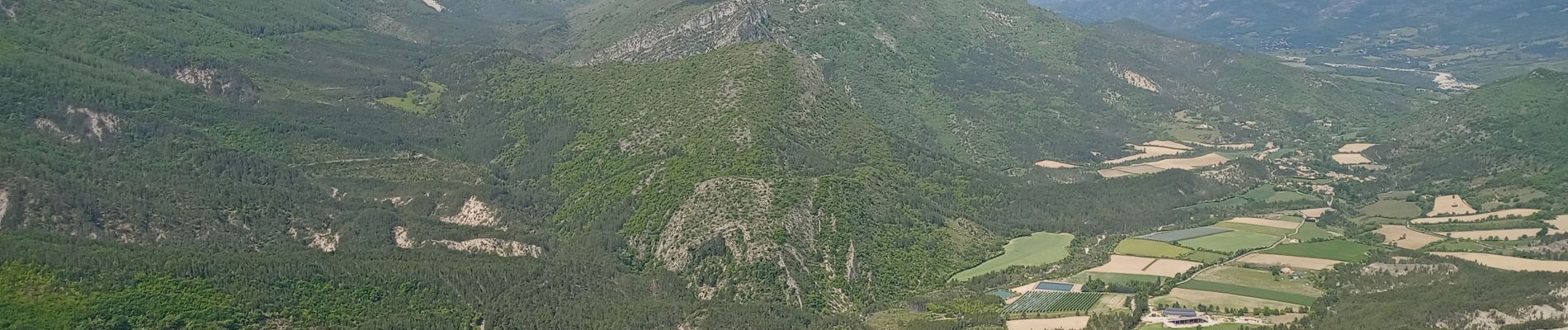
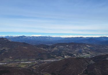
Magnifique randonnée à découvrir, des paysages à couper le souffle. Avoir un bon niveau.


On foot

Walking
Walking

Walking
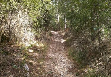
Walking
Walking
Walking

Walking
On foot