


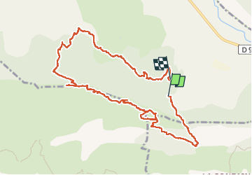

10.6 km | 16.6 km-effort

User


FREE GPS app for hiking
 SityTrail
IGN / Geographical institutes
SityTrail World
The world is yours!
Trail Walking of 12.4 km to be discovered at Provence-Alpes-Côte d'Azur, Hautes-Alpes, Val-Buëch-Méouge. This trail is proposed by nadd73.
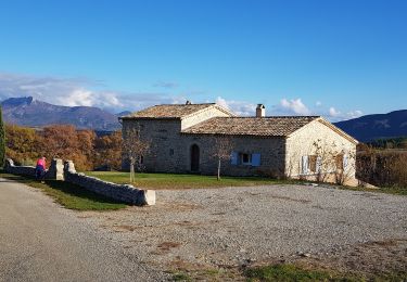
Départ de Châtillon
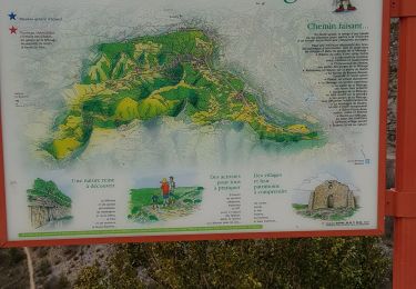
le topos est de Pascal Sombardier donc voir son blog.
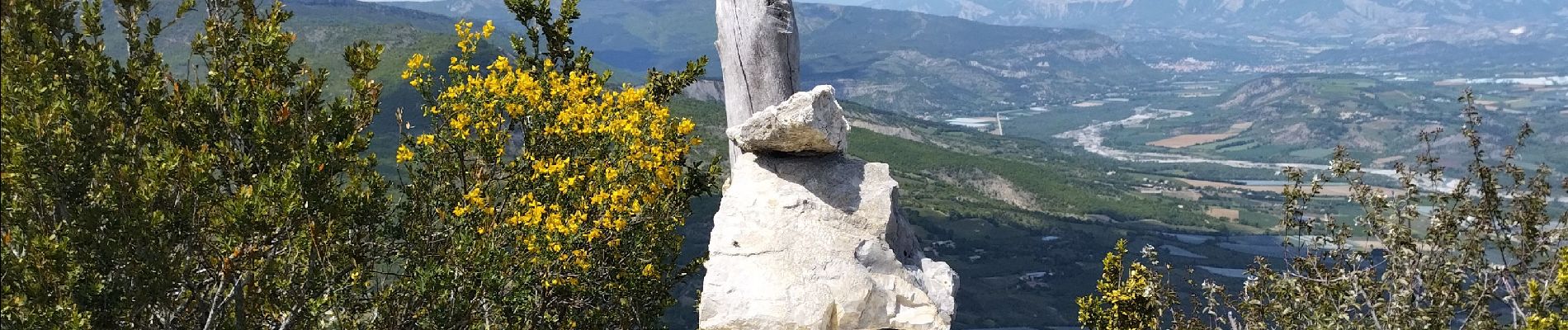
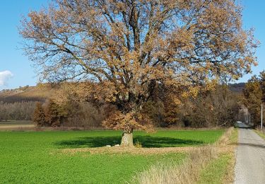
Très jolie vue Dévoluy, montagnes de Digne...


Walking

Walking

Hybrid bike
Hybrid bike
Walking
Walking

Walking
Walking

Walking