


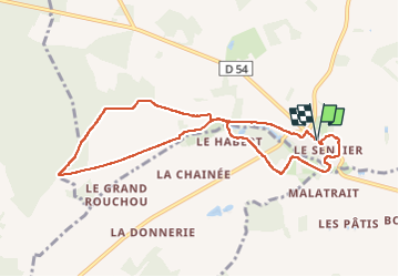


10.3 km | 11.5 km-effort


User


FREE GPS app for hiking
 SityTrail
IGN / Geographical institutes
SityTrail World
The world is yours!
Trail Walking of 8.5 km to be discovered at Centre-Loire Valley, Indre-et-Loire, Monthodon. This trail is proposed by guydu41.
Ce circuit balisé jaune démarre depuis un petit parking Rue des Violettes (D54) au hameau de Monthodon - Le Sentier.
En face du parking on trouve un ancien Temple protestant construit en 1895 par la conversion massive de la population à ce culte.
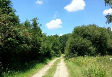
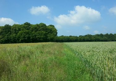
Le parcours emprunte essentiellement des chemins au milieu des champs et au travers de petits bois.
Un détour dans le hameau permet d'admirer le lavoir dans lequel les habitantes venaient rincer leur linge.


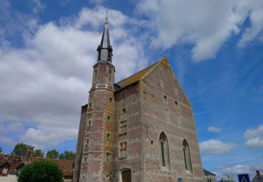
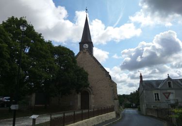
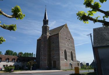
28 photos in total. Please click on a photo to see them all in the gallery.
Walking
Walking

Walking

Walking
Walking
Walking
Walking

Walking

Walking