


23 km | 36 km-effort

User GUIDE


FREE GPS app for hiking
 SityTrail
IGN / Geographical institutes
SityTrail World
The world is yours!
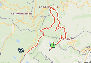
Trail Walking of 21 km to be discovered at Grand Est, Haut-Rhin, Metzeral. This trail is proposed by holtzv.
Marche sur 2 jours et demi autour du massif du Hohneck avec deux nuitées en bivouac
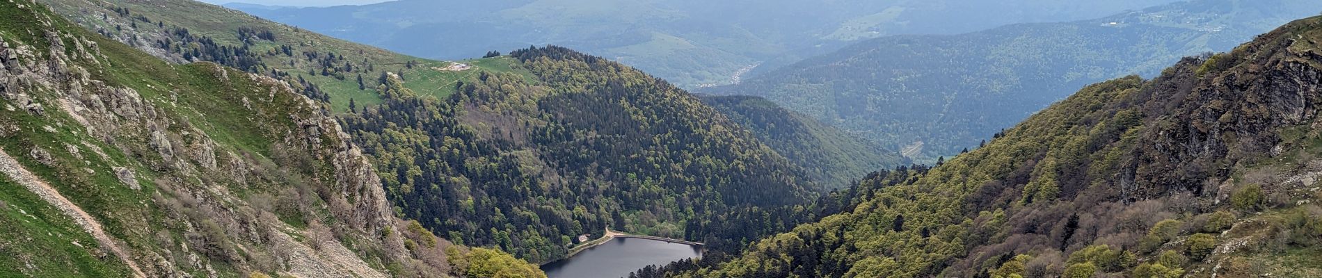
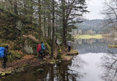
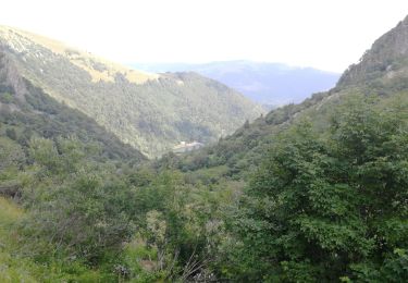
Jour 2/3 : Départ du lac du Fischboedle pour remonter sur le lac du Schiessrothried avant de passer sous le petit Hohneck et devant l’auberge du Schallern pour redescendre sur le Gaschney où l’on peut recharger les gourdes dans une fontaine. Passage par la tourbière, puis le sentier des mulets vers le col de la Schlucht pour reprendre le sentier des roches vers l’auberge du Frankenthal pour prendre un petit dessert avant d’attaquer la montée sur le col de Falimont et le Hohneck. Bivouac dans un pré juste avant le Firstmiss permettant d’aller prendre le diner au chaud à l’auberge.


Walking
Walking
Walking

Walking

Walking

Walking

Walking

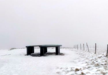
Snowshoes

Mountain bike