


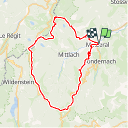

14.8 km | 27 km-effort


User


FREE GPS app for hiking
 SityTrail
IGN / Geographical institutes
SityTrail World
The world is yours!
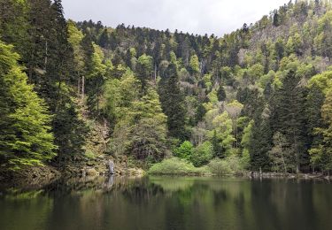
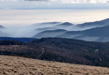
Trail Mountain bike of 33 km to be discovered at Grand Est, Haut-Rhin, Metzeral. This trail is proposed by tracegps.
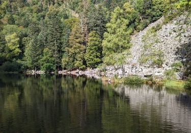
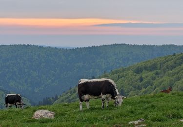
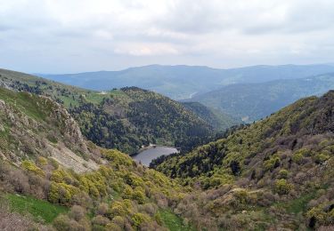
Le début du parcours s'adresse aux grosses cuisses qui ne manqueront pas de s'exprimer dans les 700m de dénivelés avalés en 5 kilomètres. Ensuite le parcours ressemble à une partie de plaisir puisqu'il suit la ligne des crêtes vosgiennes. Réchauffement de la planète oblige, ne cherchez plus les névés au mois de juillet. En lieu et place des neiges éternelles, de vastes plaques de myrtilles ont pris le relais. Du sommet du Hohneck une descente rapide permet de rejoindre Metzeral.


Walking

Walking

Walking

Snowshoes
Walking
Walking
Walking
Walking
Walking
Excellente application ! Très réactive, très lisible, très peu de plantage.