


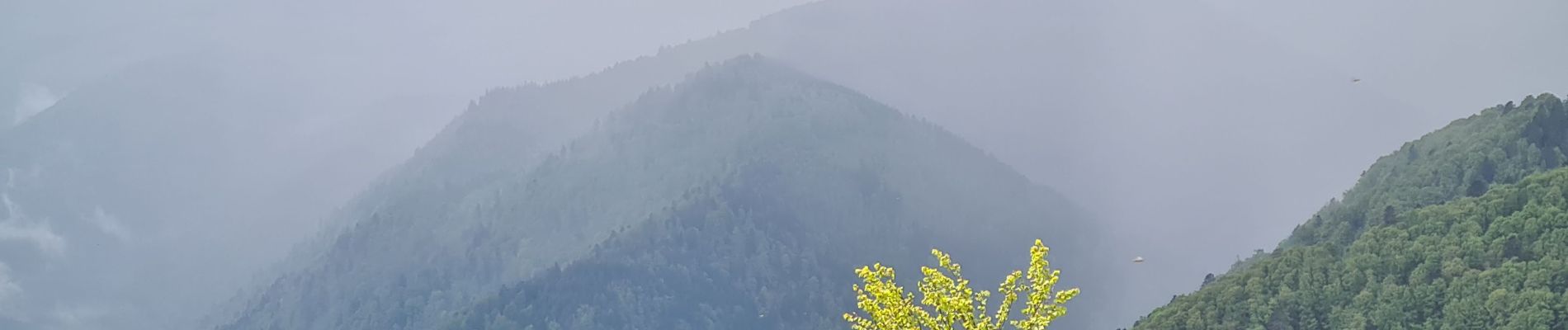
Honeck depuis Gaschney

Claudele
User
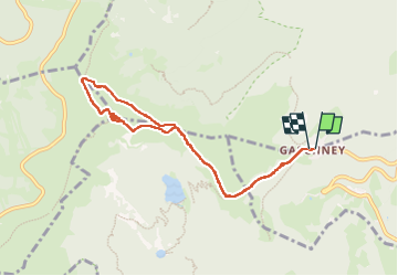

Length
8 km

Max alt
1355 m

Uphill gradient
408 m
Km-Effort
13.5 km

Min alt
991 m

Downhill gradient
404 m
Boucle
Yes
Creation date :
2023-05-22 05:30:43.785
Updated on :
2023-05-23 03:07:17.056
4h52
Difficulty : Medium

FREE GPS app for hiking
 SityTrail
IGN / Geographical institutes
SityTrail Plus
The world is yours!
About
Trail Walking of 8 km to be discovered at Grand Est, Haut-Rhin, Stosswihr. This trail is proposed by Claudele.
Photos


52 photos in total. Please click on a photo to see them all in the gallery.
Positioning
Country:
France
Region :
Grand Est
Department/Province :
Haut-Rhin
Municipality :
Stosswihr
Location:
Unknown
Start:(Dec)
Start:(UTM)
354414 ; 5321967 (32U) N.
Comments