


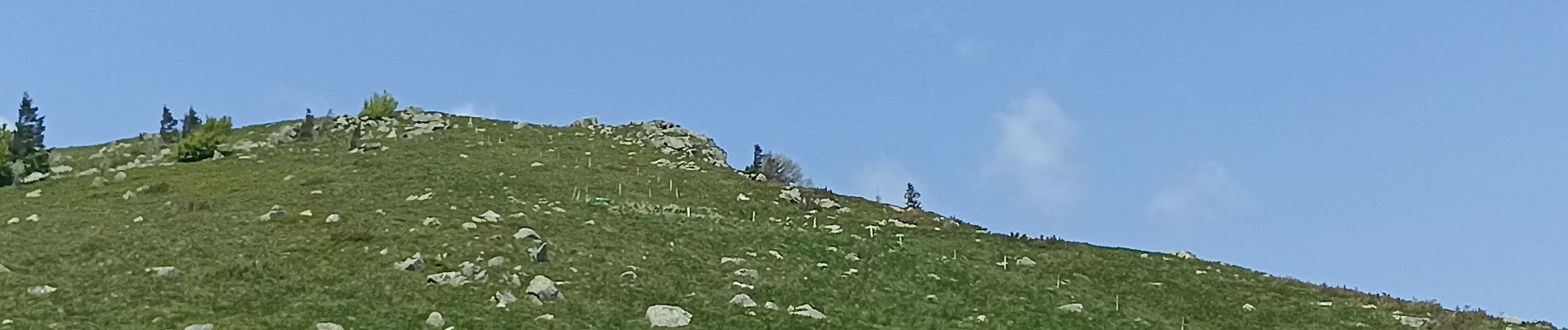
Sentier des roches, hohneck, schiessrothried

apa
User

Length
18.1 km

Max alt
1320 m

Uphill gradient
889 m
Km-Effort
30 km

Min alt
922 m

Downhill gradient
877 m
Boucle
Yes
Creation date :
2023-05-27 06:47:31.967
Updated on :
2023-05-27 12:18:19.388
4h55
Difficulty : Very difficult

FREE GPS app for hiking
 SityTrail
IGN / Geographical institutes
SityTrail Plus
The world is yours!
About
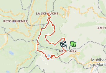
Trail Walking of 18.1 km to be discovered at Grand Est, Haut-Rhin, Stosswihr. This trail is proposed by apa.
Photos


Positioning
Country:
France
Region :
Grand Est
Department/Province :
Haut-Rhin
Municipality :
Stosswihr
Location:
Unknown
Start:(Dec)
Start:(UTM)
354474 ; 5321994 (32U) N.
Comments