


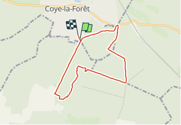

9.2 km | 11.2 km-effort

User


FREE GPS app for hiking
 SityTrail
IGN / Geographical institutes
SityTrail World
The world is yours!
Trail Walking of 7.4 km to be discovered at Hauts-de-France, Oise, Coye-la-Forêt. This trail is proposed by lbuteux.
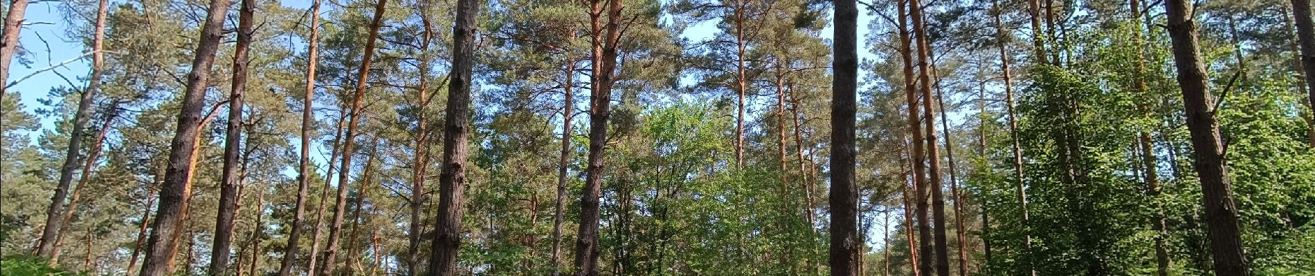
Ballade tranquille sans difficulté; une belle végétation variée; très calme, une vraie immersion en nature


Walking
Walking
Walking

Walking

Walking

Walking

Walking
Walking

Other activity