


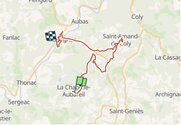

27 km | 34 km-effort

User


FREE GPS app for hiking
 SityTrail
IGN / Geographical institutes
SityTrail World
The world is yours!
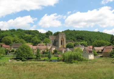
Trail Mountain bike of 28 km to be discovered at New Aquitaine, Dordogne, La Chapelle-Aubareil. This trail is proposed by Julliengamo.


Electric bike

Walking
Walking
Walking

Walking
Walking
Walking

Road bike
Walking