


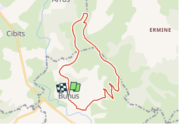

9.4 km | 15.8 km-effort

User


FREE GPS app for hiking
 SityTrail
IGN / Geographical institutes
SityTrail World
The world is yours!
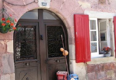
Trail Walking of 8.9 km to be discovered at New Aquitaine, Pyrénées-Atlantiques, Bunus. This trail is proposed by Rol4.
Tour de Bunus par le sommet Othegane

Walking
Walking
Walking

Walking
Walking
Walking
Walking
Walking
Walking