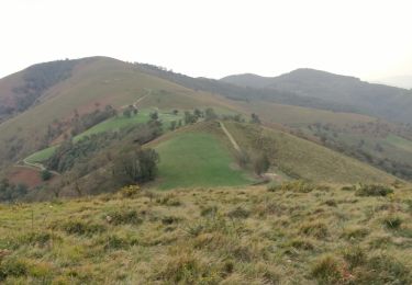
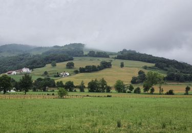
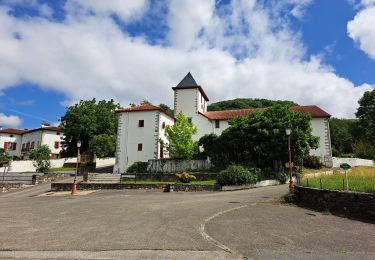
Trail Walking Bussunarits-Sarrasquette - Pic NETHE - Photo
© OpenStreetMap contributors
Length
Length
12 km
Max alt
Max alt
758 m
Uphill gradient
Uphill gradient
450 m
Km-Effort
Km-Effort  
18 km
Min alt
Min alt
481 m
Downhill gradient
Downhill gradient
448 m
Boucle
Boucle
Yes
Creation date :
2024-03-24 07:47:02.233
Updated on :
2024-03-24 11:35:32.386

(0 Reviews)

Walking
Walking
3h30
Difficulty : Medium

Scan this QR Code to open this trail in the SityTrail application

FREE GPS app for hiking

Logo SityTrail SityTrail

IGN / Geographical institutes

Download SityTrail from the App Store Download SityTrail from Google Play

Logo SityTrail SityTrail World

The world is yours!

Download SityTrail from the App Store Download SityTrail from Google Play Download SityTrail on Huawei AppGallery

About

Trail Walking of 12 km to be discovered at New Aquitaine, Pyrénées-Atlantiques, Bussunarits-Sarrasquette. This trail is proposed by CONDEArthur.

Description

 Depart du col GAMIA .

Elevation profile

Positioning

Country:
France
Region :
New Aquitaine
Department/Province :
Pyrénées-Atlantiques
Municipality :
Bussunarits-Sarrasquette
Location:
Unknown
Start:(UTM)
651943 ; 4781768 (30T) N.

Trails nearby

Trail Walking Ibarrolle - Au-dessus de IBAROLLE - Photo
Walking
Dominique48

Walking

Difficult
Ibarrolle, New Aquitaine, Pyrénées-Atlantiques, France
9.4 km | 15.8 km-effort
3h 28min
Yes
Trail Walking Bussunarits-Sarrasquette - Bussunarits Sarrasquette - 6.5 kms - Photo
Walking
Marie-Claire-mcp

Walking

Difficult
Bussunarits-Sarrasquette, New Aquitaine, Pyrénées-Atlantiques, France
12.5 km | 17.7 km-effort
1h 50min
No
Trail Walking Bunus - Bunus - Photo
Walking
Rol4

Walking

Medium
Bunus, New Aquitaine, Pyrénées-Atlantiques, France
8.9 km | 14 km-effort
2h 25min
Yes
Trail Walking Mendive - behorleguu - Photo
Walking
mickmimiver

Walking

Difficult
Mendive, New Aquitaine, Pyrénées-Atlantiques, France
23 km | 43 km-effort
7h 33min
Yes
Trail Walking Béhorléguy - Urtzategia - Photo
Walking
GUEGAN

Walking

Medium
Béhorléguy, New Aquitaine, Pyrénées-Atlantiques, France
7.8 km | 12.2 km-effort
2h 42min
Yes
Trail On foot Ainhice-Mongelos - 2021 J11  septbre Compostelle Mongelos=SJPP - Photo
On foot
philippevh

On foot

Easy
Ainhice-Mongelos, New Aquitaine, Pyrénées-Atlantiques, France
12.3 km | 15.1 km-effort
3h 25min
No
Trail Walking Hosta - le bechien - Photo
Walking
papipol

Walking

Very difficult
Hosta, New Aquitaine, Pyrénées-Atlantiques, France
14.4 km | 26 km-effort
4h 23min
No
Trail Walking Lecumberry - Lecumberry 2/08 - Photo
Walking
Guillaume RICHARD

Walking

Medium
Lecumberry, New Aquitaine, Pyrénées-Atlantiques, France
3.6 km | 6 km-effort
55min
No
Trail Walking Ainhice-Mongelos - Mongelos-Saint Jean PP - Photo
Walking
Hortense2

Walking

Difficult
Ainhice-Mongelos, New Aquitaine, Pyrénées-Atlantiques, France
11.1 km | 13.7 km-effort
2h 56min
No


Close
My subscriptions