


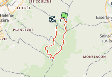

10.6 km | 26 km-effort

User


FREE GPS app for hiking
 SityTrail
IGN / Geographical institutes
SityTrail World
The world is yours!
Trail Walking of 10.1 km to be discovered at Auvergne-Rhône-Alpes, Savoy, Monthion. This trail is proposed by Zasa .
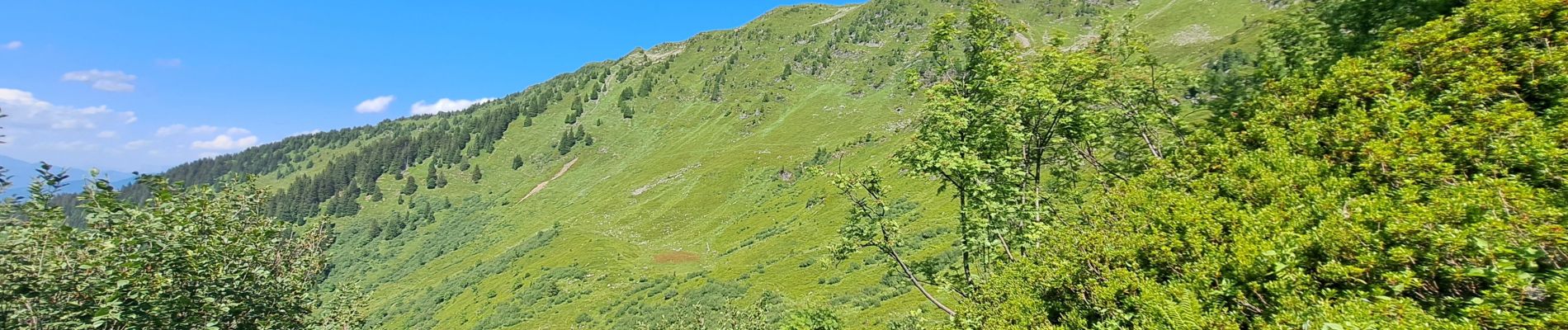
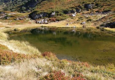
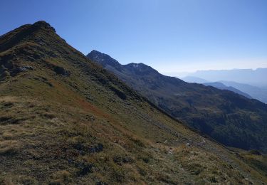
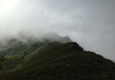
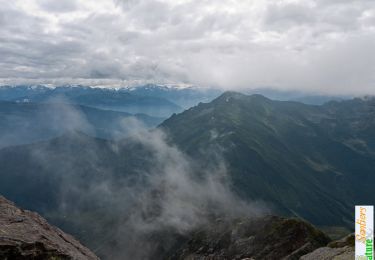
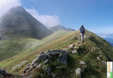
Massif du Grand-Arc - Lauzière. Le superbe parcours de crêtes gâché aujourd'hui par des cumulus tenaces imprévus par Météo-France, est à suivre sans modération. En partant du Chalet de l'Ébaudia, par le Chalet du Séchon et le haut de la Forêt du Darbelay, on rattrapera le pied de la crête de la Grande Lanche pour la suivre avant la raide grimpée de l'arête Nord de la Dent du Corbeau. L'itinéraire aérien suivra ensuite le fil des crêtes passant le Col du Charvan dominant bientôt le lac éponyme pour un aller et retour à la cime de la Tuile – 2294m – avant de terminer la boucle par le Lac de Fontaine Claire et l'incontournable Chalet de la Tuile. Description complète sur sentier-nature.com : Traversée de la Dent du Corbeau, 2286m Avertissement. Certains passages de cet itinéraire de montagne sont escarpés et/ou exposés, il est déconseillé aux enfants non accompagnés et aux personnes sujettes au vertige. Pour votre sécurité, nous vous invitons à respecter les règles suivantes : être bien chaussé, ne pas s'engager par mauvais temps, ne pas s'écarter de l'itinéraire ni des sentiers.


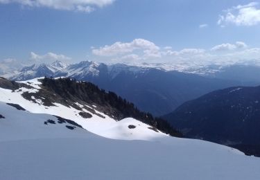
Touring skiing
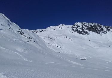
Touring skiing
Walking
Walking

Walking
Walking
Walking
Walking
Walking