


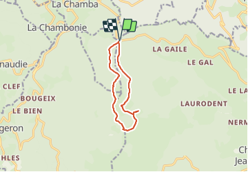

27 km | 38 km-effort

User


FREE GPS app for hiking
 SityTrail
IGN / Geographical institutes
SityTrail World
The world is yours!
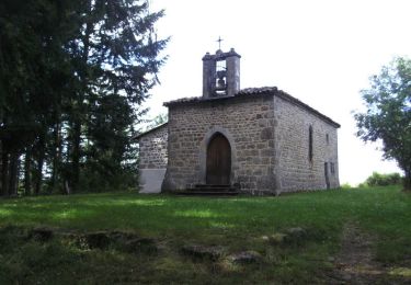
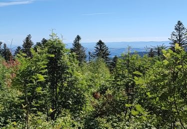
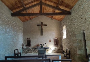
Trail Walking of 9.4 km to be discovered at Auvergne-Rhône-Alpes, Loire, Chalmazel-Jeansagnière. This trail is proposed by famillerudent.
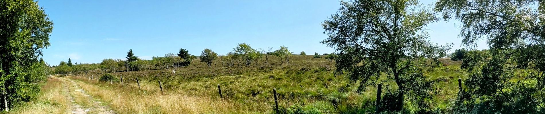
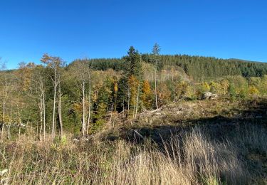
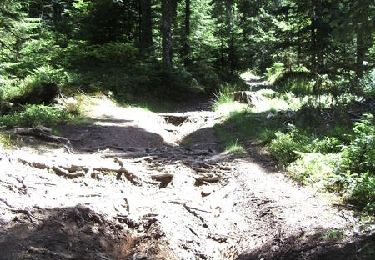
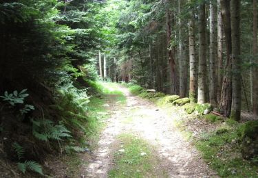
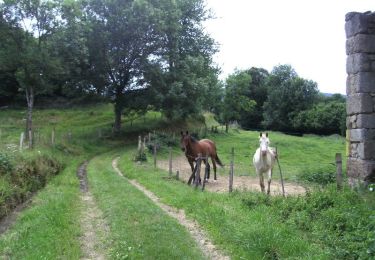
petite boucle au frais sous les arbres aller peu balisé et retour via le gr et une route parralèle faute de monde au niveau du col.Sinon boucle agréable par temps chaud


Equestrian
Equestrian
Walking
Mountain bike
Mountain bike
Mountain bike
Mountain bike
Walking
Walking