


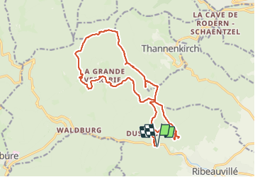

19.3 km | 24 km-effort

User GUIDE


FREE GPS app for hiking
 SityTrail
IGN / Geographical institutes
SityTrail World
The world is yours!
Trail Walking of 20 km to be discovered at Grand Est, Haut-Rhin, Ribeauvillé. This trail is proposed by holtzv.
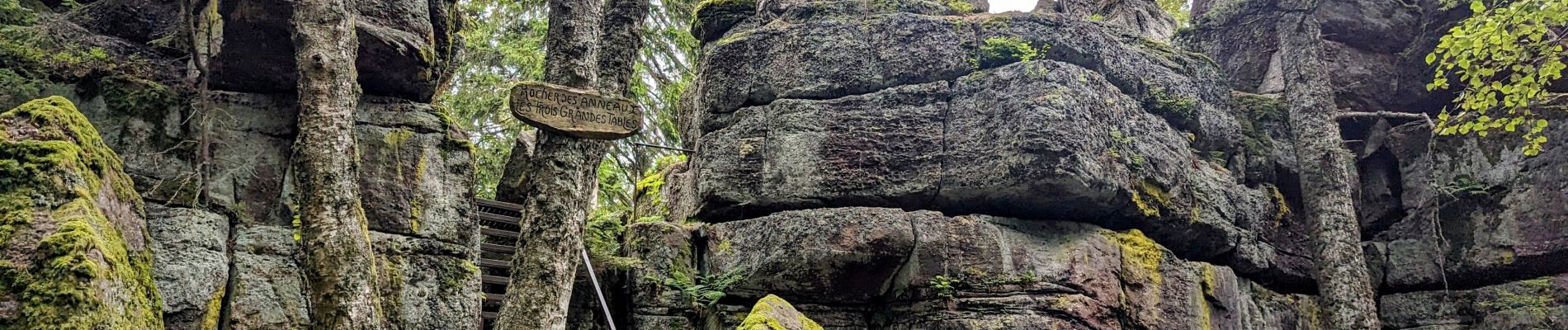
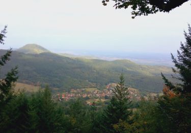
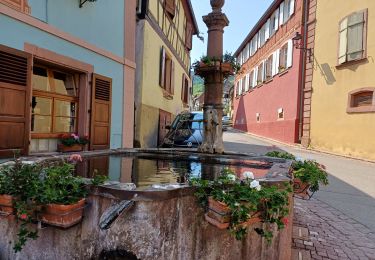
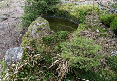
Marche en boucle au départ de N-D de Dusenbach et en passant par les châteaux de Ribeauvillé (St-Ulrich, le Girsberg, le Haut Ribeaupierre), le carrefour du Cerisier Noir, le carrefour du Brigafier Denny, le rocher de la Paix d’Udine, de la Garde, Pointu, Titans, Géants, des Reptiles, l’abri Kutzigbuech, la roche des Trois-Tables, le Schelmenkopf, le village de la Grande Verrerie.


Mountain bike

Walking

Walking
Mountain bike
Walking

Walking
Walking
Walking
Walking
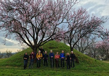
magnifique!