


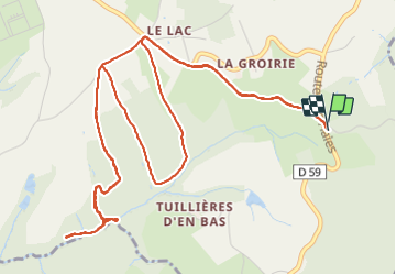

5.3 km | 7.9 km-effort


User


FREE GPS app for hiking
 SityTrail
IGN / Geographical institutes
SityTrail World
The world is yours!
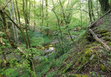
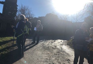
Trail Walking of 7.9 km to be discovered at Auvergne-Rhône-Alpes, Rhône, Échalas. This trail is proposed by jtraverse.
45°32'13.1"N 4°44'38.4"E
45.536959, 4.744011
69700 Échalas

Walking

Walking
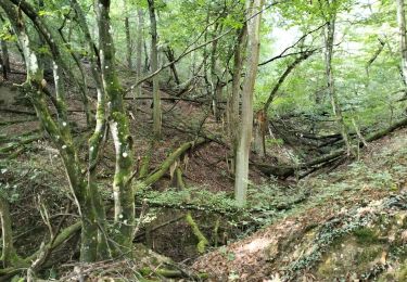
Walking
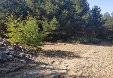
Walking
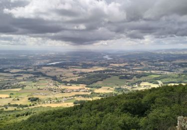
Walking
Walking
Walking

Walking
Walking