


10 km | 18 km-effort

User


FREE GPS app for hiking
 SityTrail
IGN / Geographical institutes
SityTrail World
The world is yours!
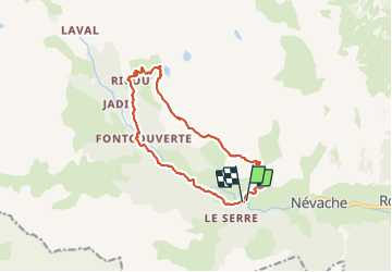
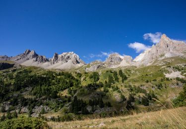
Trail Walking of 14.2 km to be discovered at Provence-Alpes-Côte d'Azur, Hautes-Alpes, Névache. This trail is proposed by lebarbe_b@hotmail.fr.
départ pont parleti
lac laramont 2h


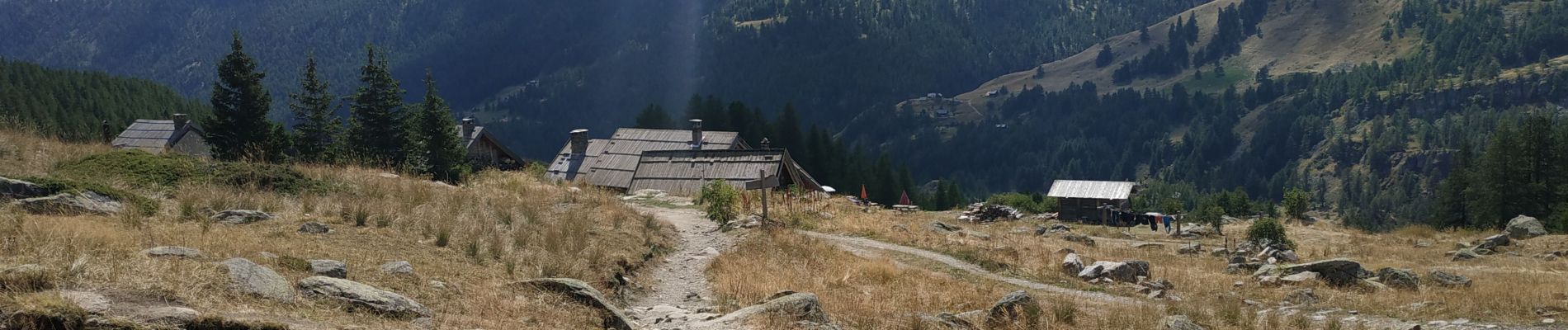
Walking

Walking

Walking

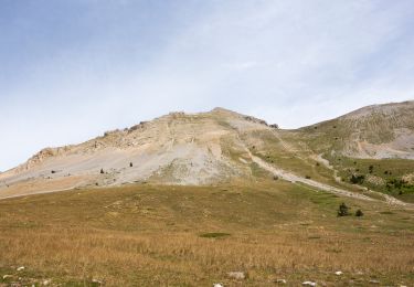
Walking

Walking

Walking
Walking
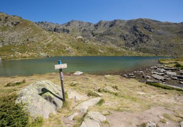
Walking
Walking