


15.5 km | 28 km-effort

User


FREE GPS app for hiking
 SityTrail
IGN / Geographical institutes
SityTrail World
The world is yours!
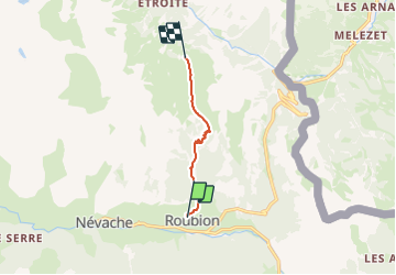
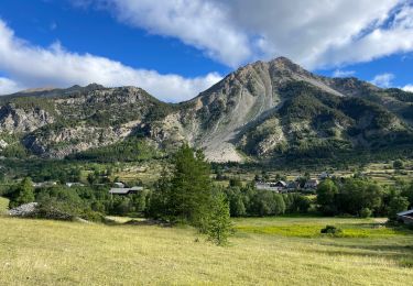
Trail Walking of 5.3 km to be discovered at Provence-Alpes-Côte d'Azur, Hautes-Alpes, Névache. This trail is proposed by astro45.
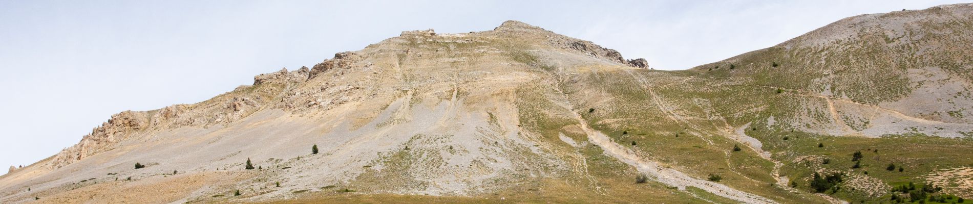
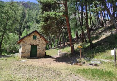
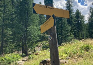
Depuis Rouillon avant Névache, prendre le GR5, sous forme d'un chemin forestier. On voit depuis le début du chemin des cheminées de Fées.
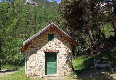
Passer le torrent de Roubion si celui-ci est bas, sinon contourner par le haut et reprendre le chemin.
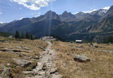
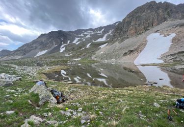
Arrivée sur le vallon des Thures. Suivre le chemin jusqu'au col des Thures et le Lac Chavillon.
Vue sur les 3 sommets Balthazar, Melchior et Gaspard à la frontière italienne.
Retour par le même chemin.


Walking
Walking
Walking
Walking
Mountain bike
Walking
Walking
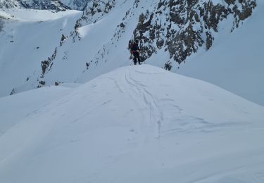
Touring skiing
Walking