


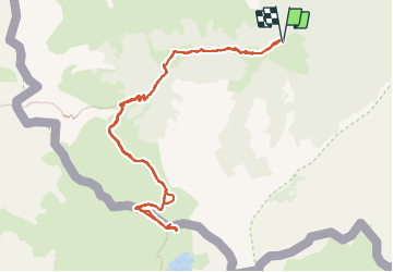

5.4 km | 7.4 km-effort

User


FREE GPS app for hiking
 SityTrail
IGN / Geographical institutes
SityTrail World
The world is yours!
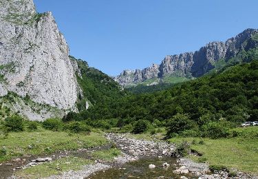
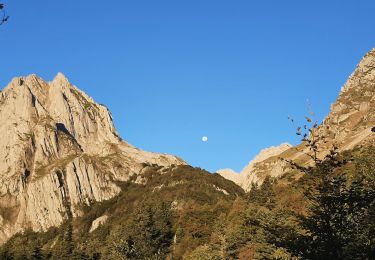
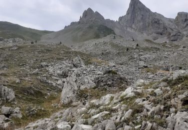
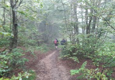
Trail Walking of 12.3 km to be discovered at New Aquitaine, Pyrénées-Atlantiques, Lescun. This trail is proposed by bedous.
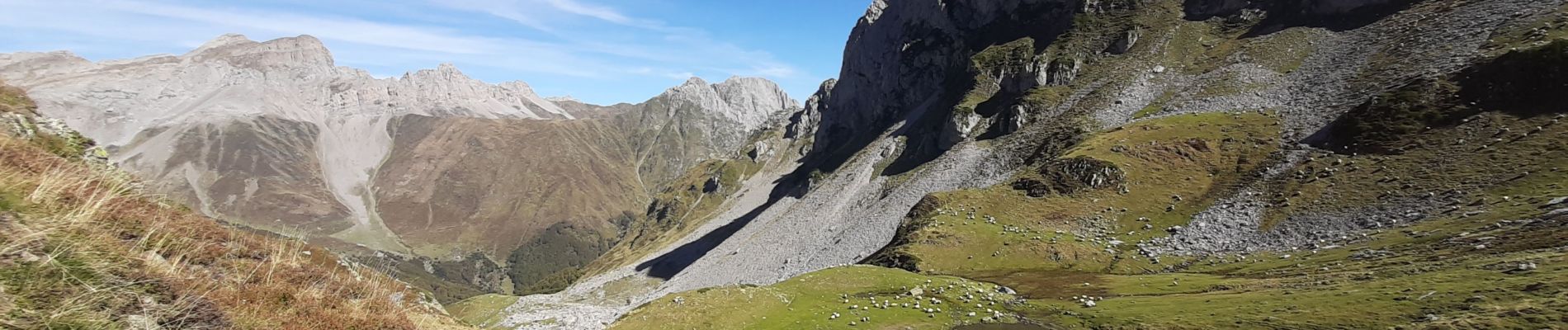
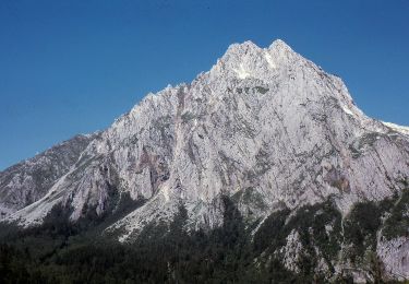
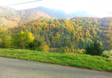
Très belle randonnée avec des vues magnifiques sur les monts et les vallées. Le sentier est pratiquement boisé jusqu'à la cabane d'Ansabère. Vente de fromages en été.


Walking

Walking
On foot
On foot

On foot
Walking
Walking
Walking
On foot