


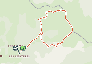

10.3 km | 17.5 km-effort

User


FREE GPS app for hiking
 SityTrail
IGN / Geographical institutes
SityTrail World
The world is yours!
Trail Walking of 10.5 km to be discovered at Auvergne-Rhône-Alpes, Drôme, Lus-la-Croix-Haute. This trail is proposed by Marco05.
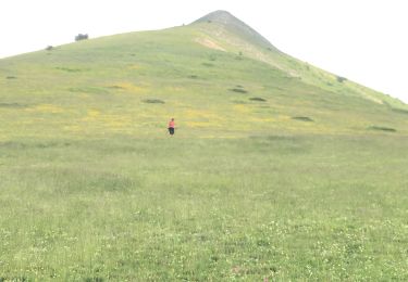
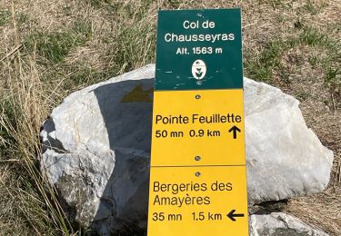
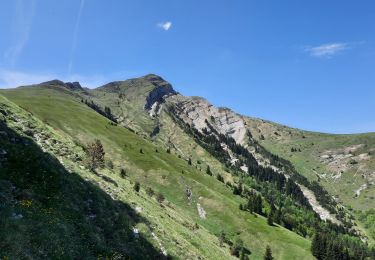
Une belle randonnée au départ du pont des Amayères au nord de Lus la Croix Haute.
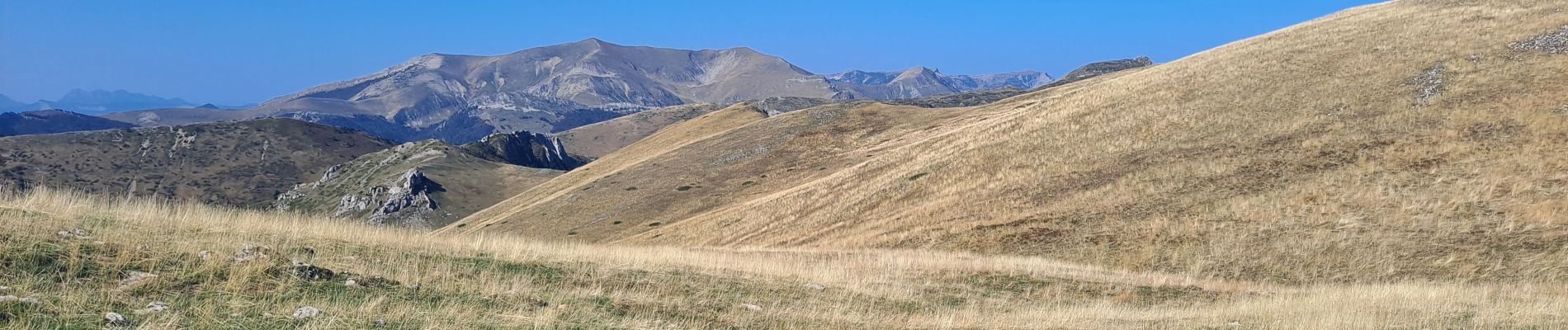
Pas de difficulté majeure, mais les 200 derniers mètres, pour atteindre le sommet, sont assez raides.
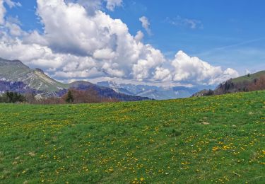
La descente par contre est assez souple et confortable sur un bon sentier.


Walking

Walking

Walking
Walking
Walking
Walking

Walking
Walking
Walking