


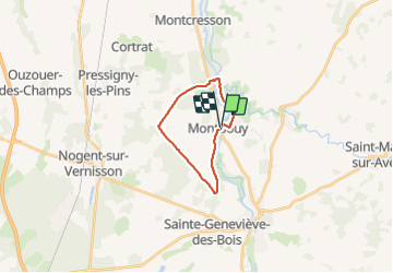

15.1 km | 16.6 km-effort


User


FREE GPS app for hiking
 SityTrail
IGN / Geographical institutes
SityTrail World
The world is yours!
Trail Walking of 14.8 km to be discovered at Centre-Loire Valley, Loiret, Montbouy. This trail is proposed by picouleau220345.
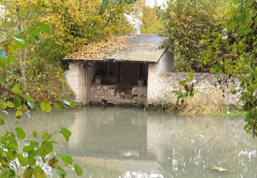
très belle rando peu de route


Walking

Walking

Walking

Walking
Walking

Electric bike

Walking

Walking
Walking