


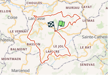


20 km | 29 km-effort


User


FREE GPS app for hiking
 SityTrail
IGN / Geographical institutes
SityTrail World
The world is yours!
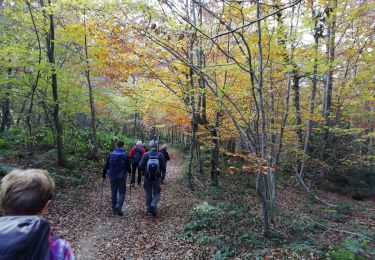
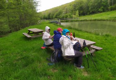
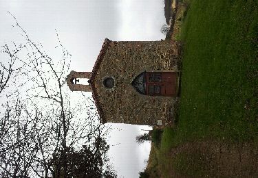
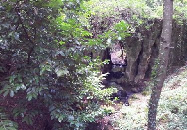
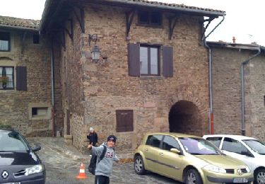
Trail On foot of 21 km to be discovered at Auvergne-Rhône-Alpes, Rhône, Larajasse. This trail is proposed by grange69.
Départ du village de l'Aubépin ensuite direction St Pierre , le village de Larajasse , le Village de Lamure et retour à L'Aubépin.
Walking
Walking
Nordic walking

Mountain bike
Walking
Walking
Walking
Walking
Walking