


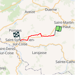

25 km | 35 km-effort

User


FREE GPS app for hiking
 SityTrail
IGN / Geographical institutes
SityTrail World
The world is yours!
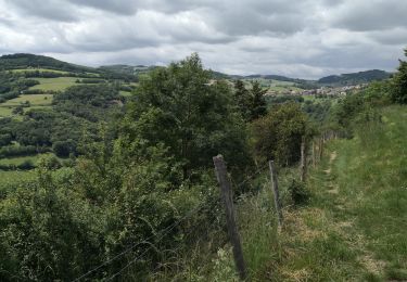
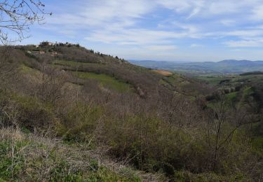
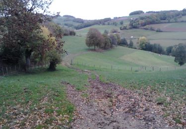
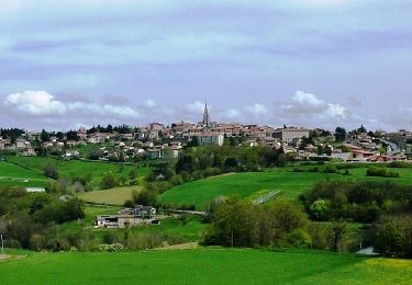
Trail Nordic walking of 8.7 km to be discovered at Auvergne-Rhône-Alpes, Rhône, Saint-Martin-en-Haut. This trail is proposed by pierre_mack.
Par un circuit des chemins de Compostelle


Mountain bike

Walking
Walking
Walking
Walking

Nordic walking

Mountain bike
Walking
Mountain bike