


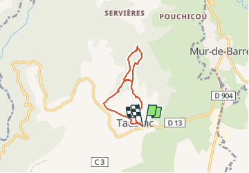

20 km | 29 km-effort


User


FREE GPS app for hiking
 SityTrail
IGN / Geographical institutes
SityTrail World
The world is yours!
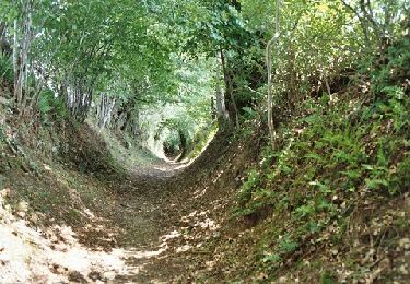
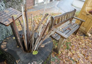
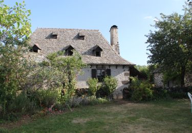
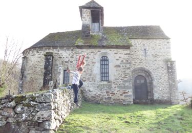
Trail Walking of 5 km to be discovered at Occitania, Aveyron, Taussac. This trail is proposed by Danielfontange.

Sled dogs
Walking
Walking

Walking
Walking
Cycle

Walking

Walking

On foot