


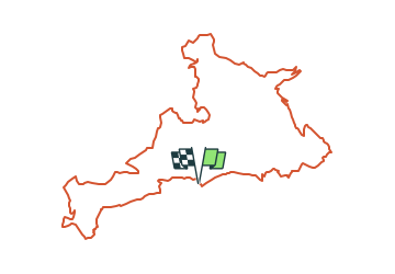

13.5 km | 19.8 km-effort


User


FREE GPS app for hiking
 SityTrail
IGN / Geographical institutes
SityTrail World
The world is yours!
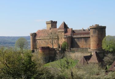
Trail Mountain bike of 28 km to be discovered at Occitania, Lot, Cornac. This trail is proposed by Gpoujade.
Boucle au départ de Cornac vers Estal, Gagnac Sur Cére, Glanes, Bretenoux

Walking

Walking
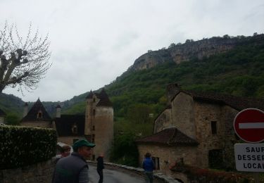
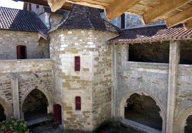
Walking
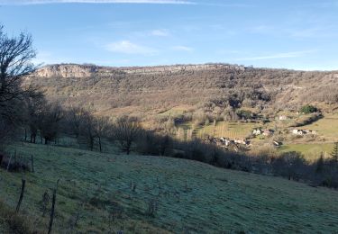
Walking

Mountain bike

Walking