


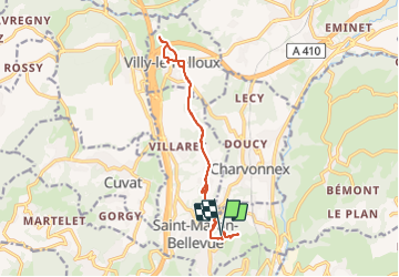

6.3 km | 17.3 km-effort


User


FREE GPS app for hiking
 SityTrail
IGN / Geographical institutes
SityTrail World
The world is yours!
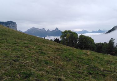
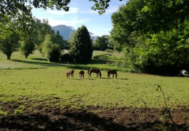
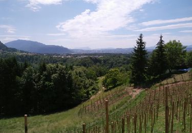
Trail Walking of 14.8 km to be discovered at Auvergne-Rhône-Alpes, Upper Savoy, Fillière. This trail is proposed by olivecoco.
très beaux points de vue, assez plat .
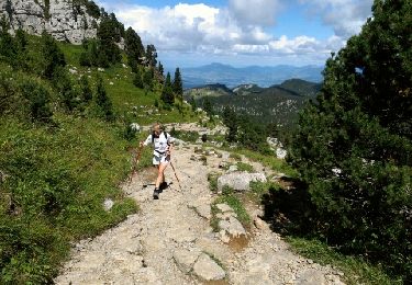
Walking
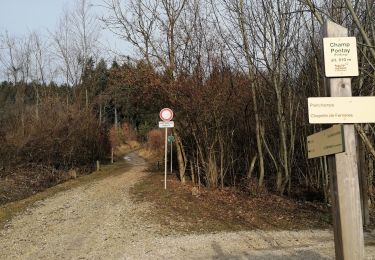
Walking
Walking
Walking
Walking
Walking
Walking
Mountain bike

Running