


30 km | 43 km-effort


User


FREE GPS app for hiking
 SityTrail
IGN / Geographical institutes
SityTrail World
The world is yours!
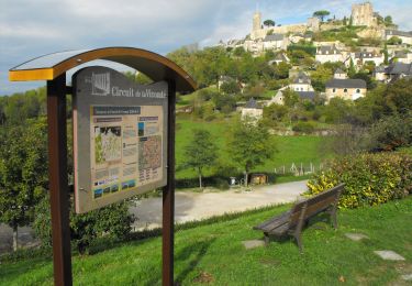
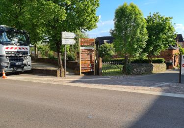
Trail Mountain bike of 50 km to be discovered at New Aquitaine, Corrèze, Collonges-la-Rouge. This trail is proposed by fesseneric.
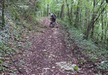
circuit en huit, à cheval entre Corrèze et Lot.A l’Hôpital saint Jean, belle vue sur les monts du Cantal.Beaucoup de montées( portage à Turenne pour passer quelques marches), quelques belles descentes.
Mountain bike
Mountain bike
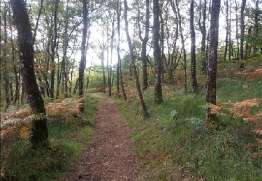
Walking
Mountain bike

Mountain bike
Mountain bike
Mountain bike
Walking
Mountain bike