


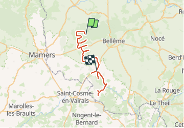

9.3 km | 11.8 km-effort


User


FREE GPS app for hiking
 SityTrail
IGN / Geographical institutes
SityTrail World
The world is yours!
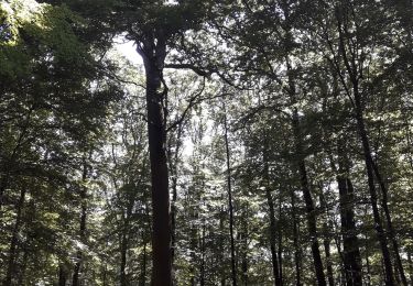
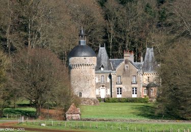
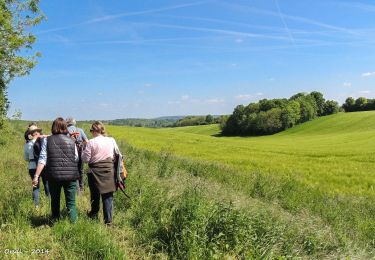
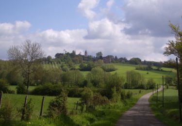
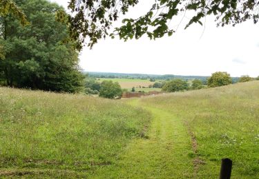
Trail Car of 47 km to be discovered at Normandy, Orne, Belforêt-en-Perche. This trail is proposed by patrick2m.
retraite prise 2 h
Carrefour Mortomer
Apre Lonné route de Bellou laT
Walking
Walking
Road bike
Walking
Walking
Walking

Walking
Walking
Walking