


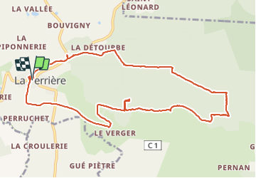

15.7 km | 19.7 km-effort

User


FREE GPS app for hiking
 SityTrail
IGN / Geographical institutes
SityTrail World
The world is yours!
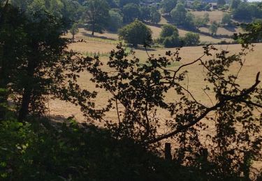
Trail Walking of 11.1 km to be discovered at Normandy, Orne, Belforêt-en-Perche. This trail is proposed by jeannine grandjean.
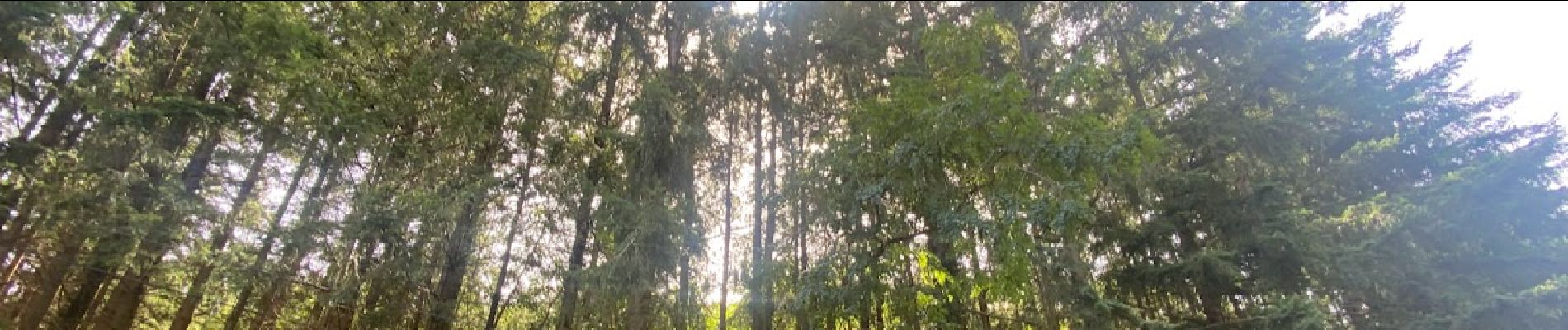
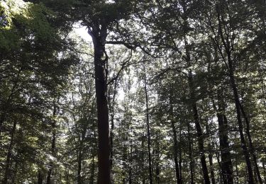
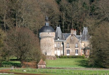
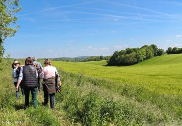
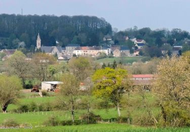
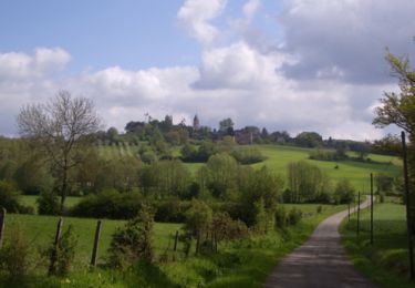
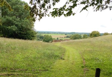
très belle randonnée en forêt, sans oublier d'arpenter les rues et ruelles de ce magnifique village au label de petite cité de caractère situé sur un éperon rocheux et au riche passé historique


Walking
Walking
Walking
Walking
Walking
Walking
Walking

Car
![Trail Walking Belforêt-en-Perche - [Itinéraire] Le Chêne de l'école - Photo](https://media.geolcdn.com/t/375/260/ext.jpg?maxdim=2&url=https%3A%2F%2Fstatic1.geolcdn.com%2Fsiteimages%2Fupload%2Ffiles%2F1553511878bg_sport_marche.png)
Walking