


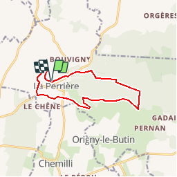

11.1 km | 13.8 km-effort

User


FREE GPS app for hiking
 SityTrail
IGN / Geographical institutes
SityTrail World
The world is yours!
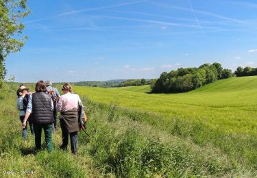
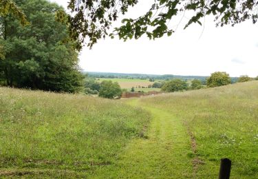
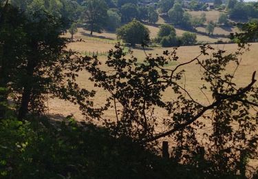
Trail Walking of 11.1 km to be discovered at Normandy, Orne, Belforêt-en-Perche. This trail is proposed by tracegps.
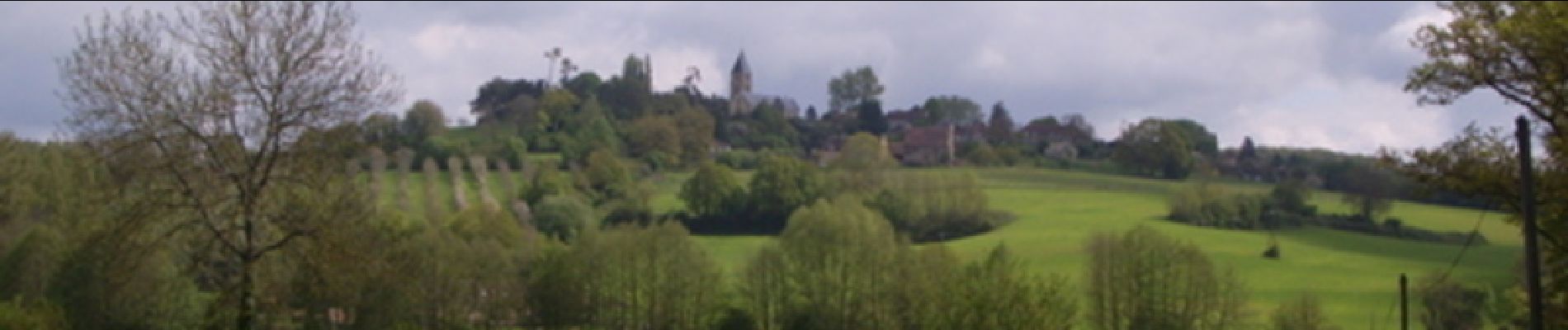
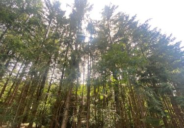
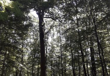
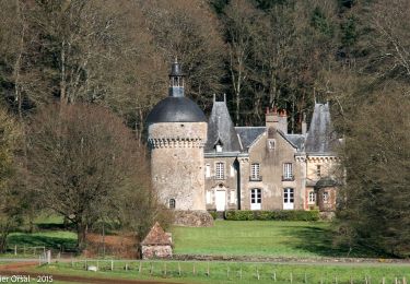
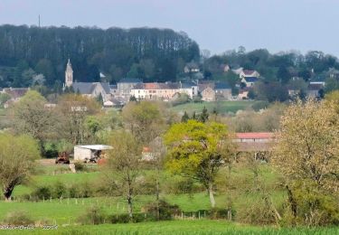
La Perrière : village millénaire. La forêt de Bellême s'étend sur les douces collines du Perche. Couverte de chênes majestueux, c'est un peu de la Gaule antique qui vit encore ici. Retrouvez les Coup de Cœur Randonnée dans l’Orne en Normandie.


Walking
Walking
Walking
Walking
Walking
Walking
Walking

Car
![Trail Walking Belforêt-en-Perche - [Itinéraire] Le Chêne de l'école - Photo](https://media.geolcdn.com/t/375/260/ext.jpg?maxdim=2&url=https%3A%2F%2Fstatic1.geolcdn.com%2Fsiteimages%2Fupload%2Ffiles%2F1553511878bg_sport_marche.png)
Walking