


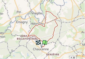

29 km | 36 km-effort


User


FREE GPS app for hiking
 SityTrail
IGN / Geographical institutes
SityTrail World
The world is yours!
Trail Walking of 13.9 km to be discovered at Bourgogne-Franche-Comté, Doubs, Chaucenne. This trail is proposed by eltonnermou.
parking mairie de Chaucenne
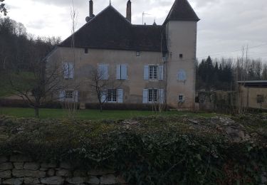
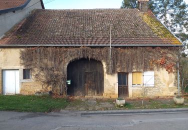
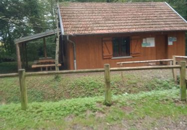
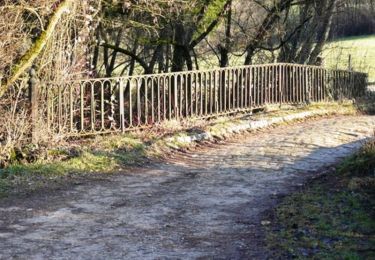
grande randonnée pratiquement pieds propres; une belle déambulation à travers nos bois et prairies de la plaine du Doubs, de belles demeures à observer lors de la traversée des villages, le château de Moncley et les bâtiments de l'abbaye de Bellefontaine.
randonnée à faire en fin d'été ou tout début de printemps.
laissez vous surprendre par la faune sauvage et les jeux de lumière du soleil dans les arbres.


Mountain bike
Walking
Walking

Walking
Walking

Walking

Mountain bike
Mountain bike
Walking