


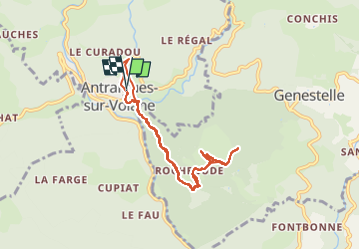

14.1 km | 24 km-effort


User


FREE GPS app for hiking
 SityTrail
IGN / Geographical institutes
SityTrail World
The world is yours!
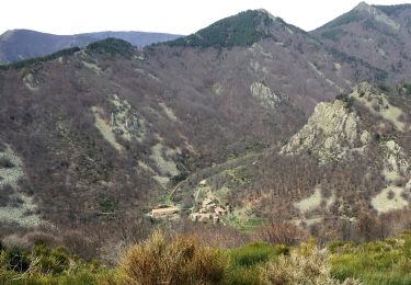
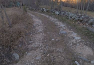
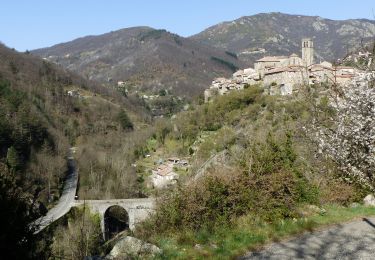
Trail Walking of 8.6 km to be discovered at Auvergne-Rhône-Alpes, Ardèche, Vallées-d'Antraigues-Asperjoc. This trail is proposed by SyMA.
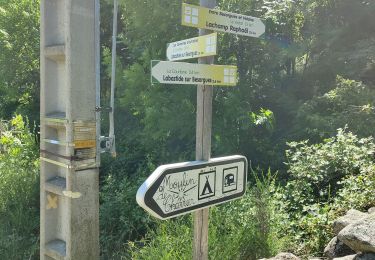
impossible de prendre les sentiers privatisés!!
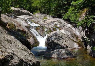
autour de Volcan de Craux et chemins après par les chataigniers AOP meme en période printemps !!
Musée et tombe de Jean Ferrat


Walking

Walking
Walking
Walking
Walking
Walking
Walking
Walking
Walking