


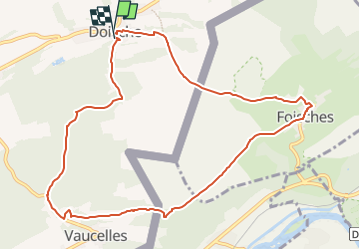


7.6 km | 10.5 km-effort

User GUIDE


FREE GPS app for hiking
 SityTrail
IGN / Geographical institutes
SityTrail World
The world is yours!
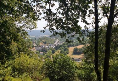
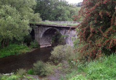
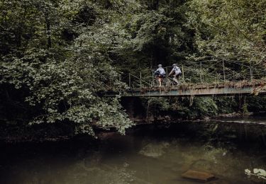
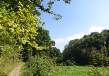
Trail Walking of 9.9 km to be discovered at Wallonia, Namur, Doische. This trail is proposed by Desrumaux.
Jolie balade transfrontalière au départ du village de Doische en province de Namur vers le village de Foisches situé dans le département des Ardennes française région Grand Est.
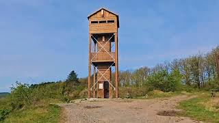


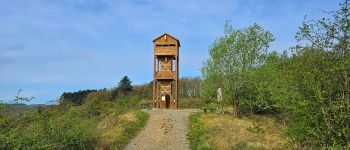
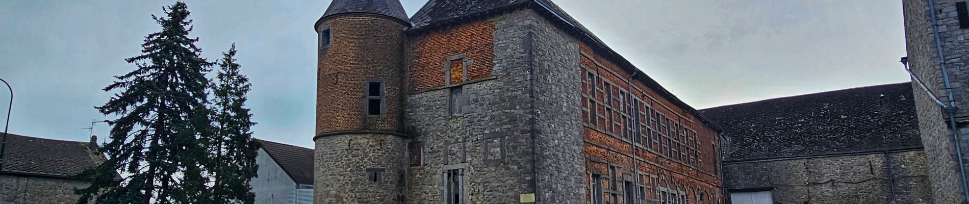
21 photos in total. Please click on a photo to see them all in the gallery.
Walking

Walking

Walking
On foot


Mountain bike

On foot
Walking