


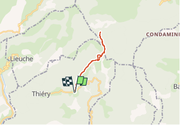

10.7 km | 22 km-effort

User


FREE GPS app for hiking
 SityTrail
IGN / Geographical institutes
SityTrail World
The world is yours!
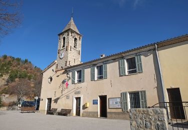
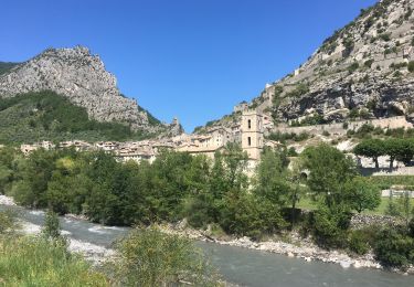
Trail Walking of 9.6 km to be discovered at Provence-Alpes-Côte d'Azur, Maritime Alps, Thiéry. This trail is proposed by bozo1970.
Départ du col de la Madone
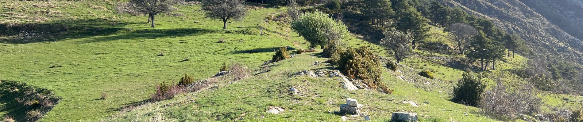
Agréable chemin
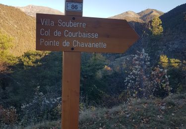
Col de Courbaisse en 1h14’ D 500 et 3km500
Brec en 1h38’ D 686 et 4km750
A/R en 2h50’ D 714 et 9km320
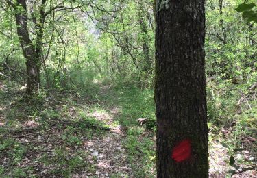
Gros bug au niveau de la pointe de Chavanette : rester sur le sentier et les marques jaune qui contourne la pointe par le bas et la gauche
J’ai cherché le sentier principal par la trace GPS et ne l’ai jamais trouvé
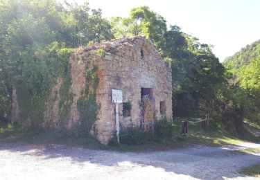
Disparu !
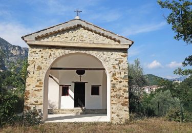
Joli point de vue


On foot
Walking
Walking
Walking

Walking
On foot
On foot
On foot
Road bike