


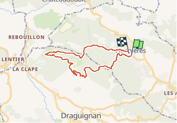

10 km | 14.7 km-effort


User


FREE GPS app for hiking
 SityTrail
IGN / Geographical institutes
SityTrail World
The world is yours!
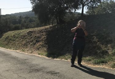
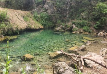
Trail Walking of 14.9 km to be discovered at Provence-Alpes-Côte d'Azur, Var, Figanières. This trail is proposed by papyduck.
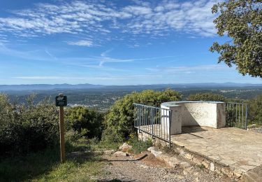
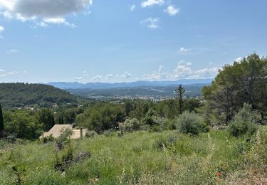
Belle randonné mais la température déjà haute....


Walking
Walking

Walking
Walking

Walking

Walking
Walking

sport
Walking