


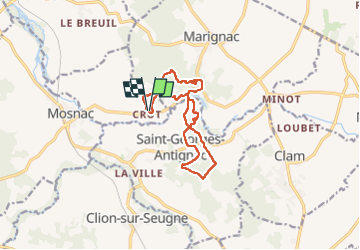

18.1 km | 21 km-effort


User


FREE GPS app for hiking
 SityTrail
IGN / Geographical institutes
SityTrail World
The world is yours!
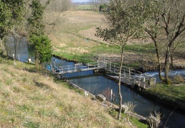
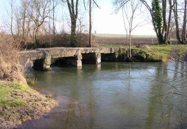
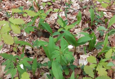
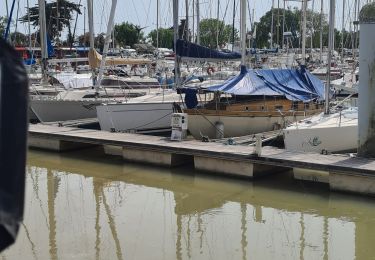
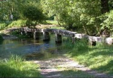
Trail Walking of 12.2 km to be discovered at New Aquitaine, Charente-Maritime, Saint-Grégoire-d'Ardennes. This trail is proposed by JACQUOU.

Walking
Mountain bike
Mountain bike

Walking
Walking
Quad
Mountain bike

Mountain bike

Mountain bike