


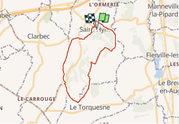


14.8 km | 18.9 km-effort


User


FREE GPS app for hiking
 SityTrail
IGN / Geographical institutes
SityTrail World
The world is yours!
Trail Walking of 12.6 km to be discovered at Normandy, Calvados, Saint-Hymer. This trail is proposed by Eve - Line.
Très belle boucle


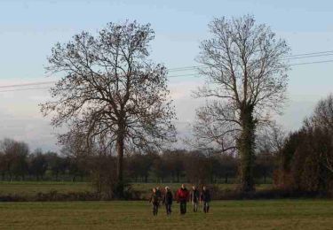
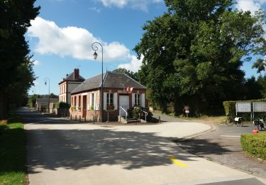
22 photos in total. Please click on a photo to see them all in the gallery.

Walking

Walking
Walking
Walking

Walking
Walking

Mountain bike

Walking
Electric bike