


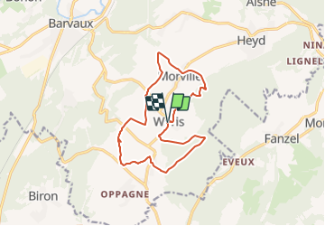


16.8 km | 22 km-effort


Randonnez sur et autour des GR ® wallons (Sentiers de Grande Randonnée). PRO


FREE GPS app for hiking
 SityTrail
IGN / Geographical institutes
SityTrail World
The world is yours!
Trail Walking of 12.7 km to be discovered at Wallonia, Luxembourg, Durbuy. This trail is proposed by GR Rando.
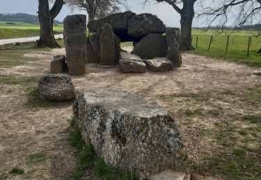
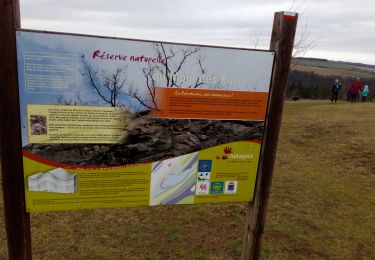
De dolmens en menhirs autour de Wéris
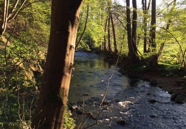
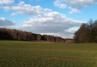
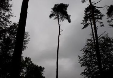
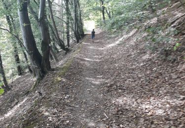
Dans quel type de paysage randonnons-nous ?
Sur le plateau de Wéris, entre les vallées de l’Ourthe et de l’Aisne, se trouve la plus importante concentration de mégalithes (dolmens, menhirs) du pays. Nous allons les découvrir ensemble.
Où démarrons-nous ?
Devant le « musée des Mégalithes » (qu’on aperçoit de la place de l’Église) à Wéris.
Comment y arriver ?
À Barvaux, sur la N86, Aywaille - Marche, prendre la direction d’« Érezée - Samrée » (N841), puis celle de Wéris (carte Michelin n° 534, pli S/21).
Combien de kilomètres ?
12,9 km. Possibilité de réduire cette balade à 6,8 km.
Quelle difficulté ?
Aucune, si on excepte l’escalade du « rocher Haina ».
Sur quel GR randonnons-nous ?
Nous allons parcourir un tronçon duGR 57 (« Vallée de l’Ourthe et Sentier du Nord ») et sa variante à Wéris.
Quelle est la carte IGN de référence ?
Carte IGN au 1:20 000, 55/1-2 « Durbuy - Érezée ».
Que découvrons-nous aujourd’hui ?
Cette balade est une incursion dans le néolithique et nous nous documenterons sur ce sujet au « musée des Mégalithes ».
Transports en commun ?
Hélas ! Les jours fériés et le weekend, aucun bus ne dessert Wéris. En semaine, seuls quelques rares bus 10/5 et 11/3 y circulent, uniquement les jours scolaires.

Walking

Walking
Walking
Walking
Walking
Walking
Walking
Walking
belle promenade agrémenté de découverte
Excellent pour une 1er sortit !
Superbe randonn?e mais prudence dans la mont? du rocher Hainaut.