


13.9 km | 19.1 km-effort


User


FREE GPS app for hiking
 SityTrail
IGN / Geographical institutes
SityTrail World
The world is yours!
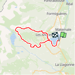
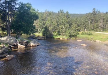
Trail Walking of 28 km to be discovered at Occitania, Pyrénées-Orientales, Matemale. This trail is proposed by jl_chocho.
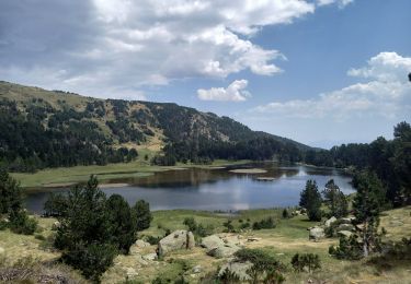
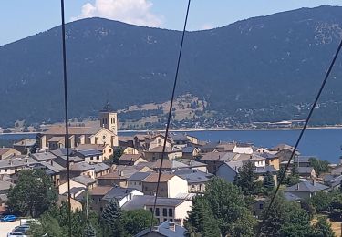
Matemale le lac vers les Angles puis lac de Vallserra puis lac des Bouillouses puis lac d'Aude puis retour vers Matemale.

Snowshoes
Walking

Walking
Walking

Walking

Snowshoes
Walking
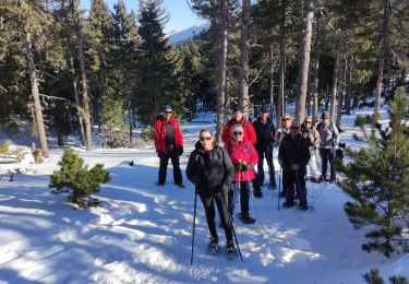
Snowshoes
Walking