


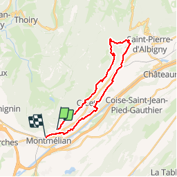

9.5 km | 21 km-effort

User


FREE GPS app for hiking
 SityTrail
IGN / Geographical institutes
SityTrail World
The world is yours!
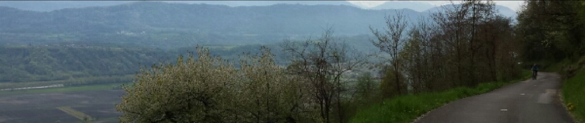
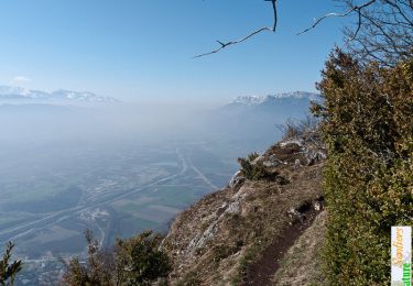
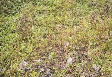
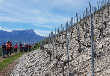
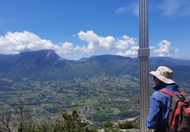
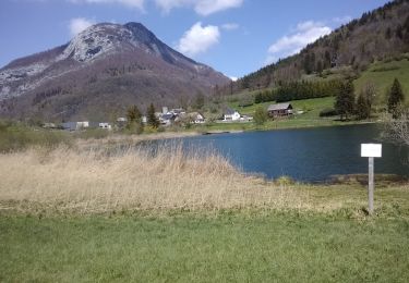
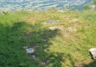
Trail Mountain bike of 25 km to be discovered at Auvergne-Rhône-Alpes, Savoy, Arbin. This trail is proposed by boissin-pat.
Départ de montmelian.


Walking
Mountain bike
Nordic walking
Walking
Walking

Snowshoes

Walking
Trail
Walking