Trail Walking Montigny-le-Tilleul - BE-Montigny-le-Tilleul - Landelies - Aulne - 2 - Photo

BE-Montigny-le-Tilleul - Landelies - Aulne - 2

 MicDul
MicDul

User GUIDE

© OpenStreetMap contributors
Length
Length
7.1 km
Max alt
Max alt
200 m
Uphill gradient
Uphill gradient
184 m
Km-Effort
Km-Effort  
9.6 km
Min alt
Min alt
106 m
Downhill gradient
Downhill gradient
185 m
Boucle
Boucle
Yes
Creation date :
18/11/2017 00:00
Updated on :
30/06/2020 14:38

(1 Reviews)

Walking
Walking
2h04
Difficulty : Very easy

Scan this QR Code to open this trail in the SityTrail application

FREE GPS app for hiking

Logo SityTrail SityTrail

IGN / Geographical institutes

Download SityTrail from the App Store Download SityTrail from Google Play

Logo SityTrail SityTrail Plus

The world is yours!

Download SityTrail from the App Store Download SityTrail from Google Play Download SityTrail on Huawei AppGallery

About

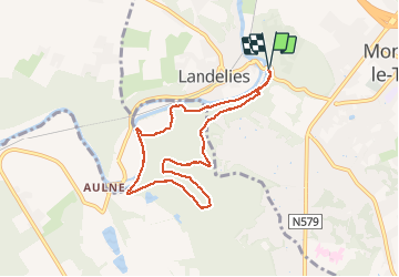
Trail Walking of 7.1 km to be discovered at Wallonia, Hainaut, Montigny-le-Tilleul. This trail is proposed by MicDul.

Description

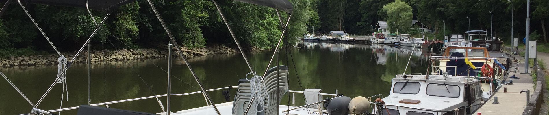
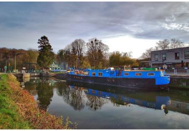
Départ du déversoir de Landelies - passer devant la Capitainerie.
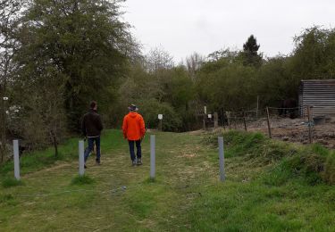
"Petite" grimpette au départ.

Elevation profile

Photos

Positioning

Country:
Belgium
Region :
Wallonia
Department/Province :
Hainaut
Municipality :
Montigny-le-Tilleul
Location:
Montignies-le-Tilleul
Start:(UTM)
596579 ; 5581602 (31U) N.

Comments

Please log in to post a review or rate the element


Close
My subscriptions