


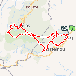


15 km | 18.2 km-effort


User


FREE GPS app for hiking
 SityTrail
IGN / Geographical institutes
SityTrail World
The world is yours!
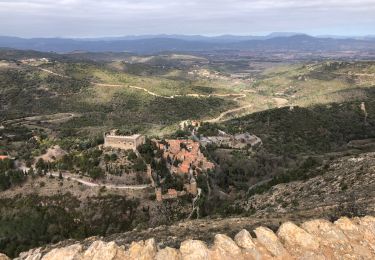
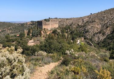
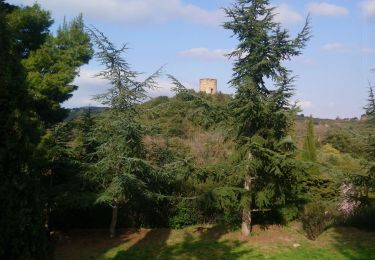
Trail Walking of 10.8 km to be discovered at Occitania, Pyrénées-Orientales, Castelnou. This trail is proposed by jeff66.
CASTELNOU 66 - Bac d'en Brial - piste DFCI A1 - le SOLA - vue sur força réal et les corbières - vue sur le roc Majorque wet CASTELNOU - mas San Julia - panorama sur la plaine du Roussillon - CAMELAS - mas del Roc - la Font - église - piste DFCI A77 - mas San Germa - vue sur CAMELAS et la plaine - col de la Roque - ermitage San Marti de La Roca - promenade dans les sous bois et petits ravins - l'hort d'amont - CASTELNOU - Serrat de la Mille - table d'orientation -


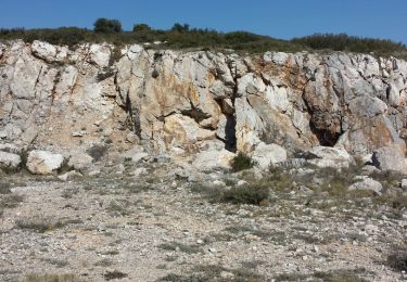
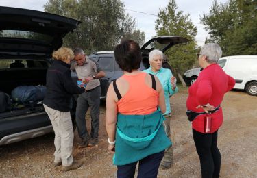
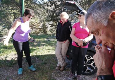
23 photos in total. Please click on a photo to see them all in the gallery.

Walking
Walking
Walking
Walking

Walking
Walking
Walking
Walking
Walking
très varié, belles vues