


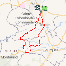

10.8 km | 16.7 km-effort


User


FREE GPS app for hiking
 SityTrail
IGN / Geographical institutes
SityTrail World
The world is yours!
Trail Walking of 15 km to be discovered at Occitania, Pyrénées-Orientales, Llupia. This trail is proposed by jeff66.
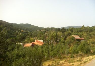
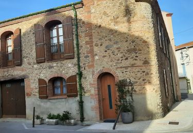
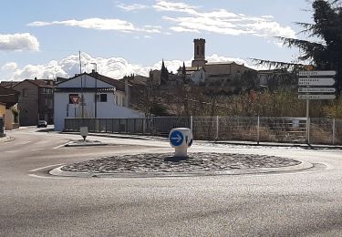
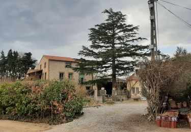
66 LLUPIA - parking du cimetière, allée du souvenir français, gué, Les Nantilles, vue sur le Canigou, Sté Colombe, Thuir - réservoir eau - D18 - panorama sur TERRATS, les Alberes, les Pyrénées. Le Canigou - les Olivedes - radier sur la Canterrane - cortal PUIG - les Garrigues - Riba Roja - FOURQUES - gués sur la Galsérane - mas Ribes - mas des olivettes - les Campañes - Terra Llest - Oliveda Fosca - Ila Figuerassa - TERRATS - correc de les Cassanyes - mas d'en Planes - piste DFCI A6 - la Canterrane - la Vinyassa - la Bougala - Salle des fêtes, rue de l'ancienne mairie, rue des mimosas, cave Coop, Terrassous, Château d'Eau, D18 - LLUPIA - les Nantilles - les Feixes -


Walking
Walking
Walking
Walking

Walking
Walking
Walking
Walking
Walking
BON