


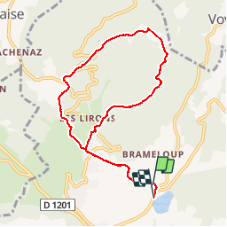


9.1 km | 11.6 km-effort

User


FREE GPS app for hiking
 SityTrail
IGN / Geographical institutes
SityTrail World
The world is yours!
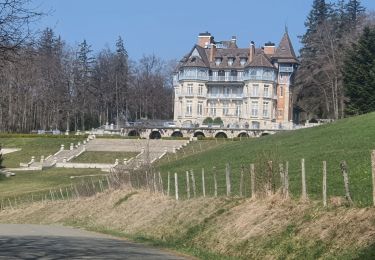
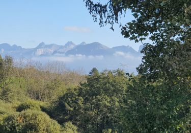
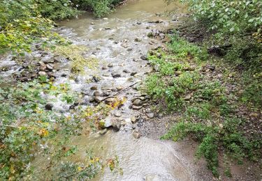
Trail Walking of 8.9 km to be discovered at Auvergne-Rhône-Alpes, Upper Savoy, Cruseilles. This trail is proposed by Jeroen82.
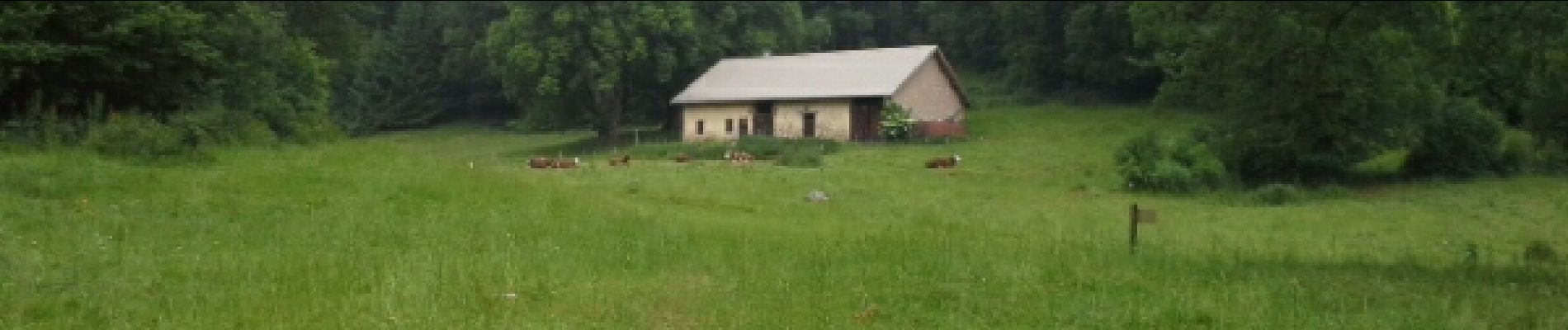
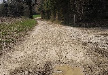
Nice little walk through different types of forest, plains with cows and views over the 'plateau de Glieres'and lake of Annecy

Nordic walking
Walking
Walking

Walking
Walking
Walking
Walking
Walking
Walking