


2025 TOUSSAINT J02

Airelle
User
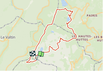

Length
18.8 km

Max alt
1302 m

Uphill gradient
694 m
Km-Effort
28 km

Min alt
909 m

Downhill gradient
693 m
Boucle
Yes
Creation date :
2025-02-17 17:46:20.234
Updated on :
2025-02-17 17:53:19.229
6h22
Difficulty : Very difficult

FREE GPS app for hiking
 SityTrail
IGN / Geographical institutes
SityTrail Plus
The world is yours!
About
Trail Walking of 18.8 km to be discovered at Grand Est, Haut-Rhin, Stosswihr. This trail is proposed by Airelle.
Positioning
Country:
France
Region :
Grand Est
Department/Province :
Haut-Rhin
Municipality :
Stosswihr
Location:
Unknown
Start:(Dec)
Start:(UTM)
355415 ; 5326989 (32U) N.
Comments