


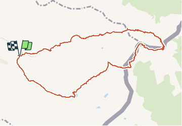


13.1 km | 23 km-effort

User GUIDE


FREE GPS app for hiking
 SityTrail
IGN / Geographical institutes
SityTrail World
The world is yours!
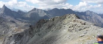
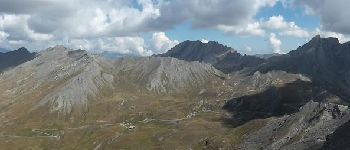
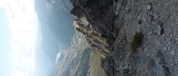
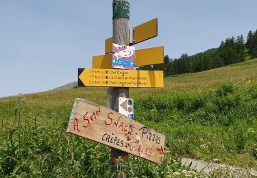
Trail Walking of 12 km to be discovered at Provence-Alpes-Côte d'Azur, Hautes-Alpes, Saint-Véran. This trail is proposed by R@ph.
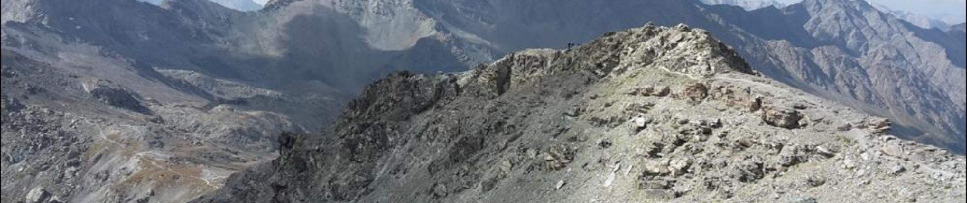
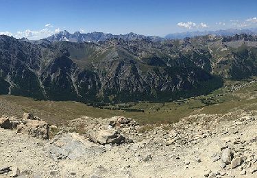
Une belle randonnée en boucle au départ de notre dame de Clausis. Passage par le refuge de la blanche puis le col de St Veran avant la montée finale par l'Italie sous le pic de Caramantran.
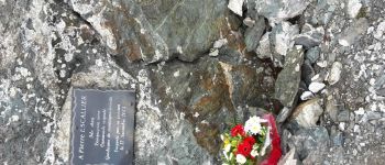
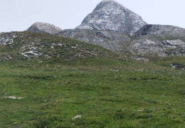
Une petite halte de recueillement sur la stèle d'un camarade décédé en montagne. Retour par le col de Chamoussière pour la pause pique nique et la descente vers la chapelle par le GR 58.


Walking
Walking

Walking

Walking

Walking

Walking

Other activity
Walking
Walking