Trail Walking Valdeblore - Lac Tavels - Photo
 aris
aris

User

© OpenStreetMap contributors
Length
Length
7.1 km
Max alt
Max alt
2386 m
Uphill gradient
Uphill gradient
244 m
Km-Effort
Km-Effort  
10.9 km
Min alt
Min alt
2083 m
Downhill gradient
Downhill gradient
418 m
Boucle
Boucle
No
Creation date :
2015-07-14 00:00:00.0
Updated on :
2020-06-06 22:05:07.922

(0 Reviews)

Walking
Walking
3h41
Difficulty : Medium

Scan this QR Code to open this trail in the SityTrail application

FREE GPS app for hiking

Logo SityTrail SityTrail

IGN / Geographical institutes

Download SityTrail from the App Store Download SityTrail from Google Play

Logo SityTrail SityTrail World

The world is yours!

Download SityTrail from the App Store Download SityTrail from Google Play Download SityTrail on Huawei AppGallery

About

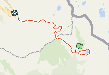
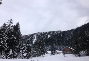
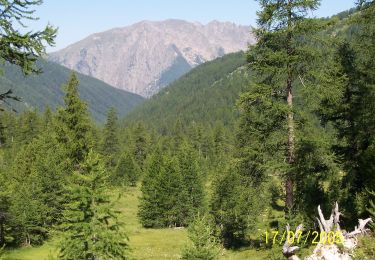
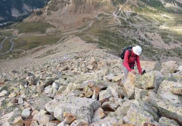
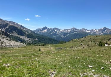
Trail Walking of 7.1 km to be discovered at Provence-Alpes-Côte d'Azur, Maritime Alps, Valdeblore. This trail is proposed by aris.

Description

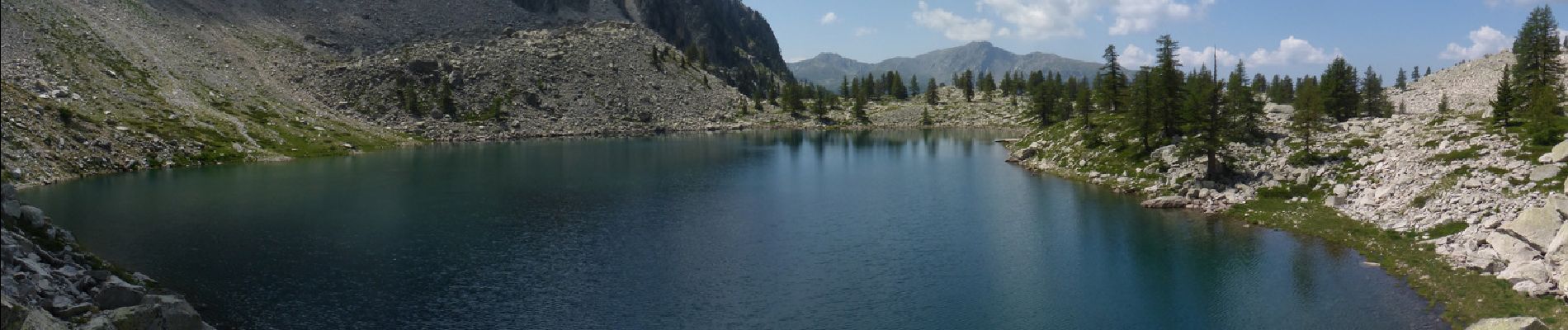
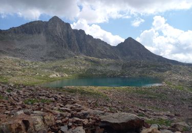
Magnifique lac de montagne, d'accès facile par le col Mercière.
La trace GPX ne montre que le retour (et aussi le tour du Lac).

Elevation profile

Photos

Positioning

Country:
France
Region :
Provence-Alpes-Côte d'Azur
Department/Province :
Maritime Alps
Municipality :
Valdeblore
Location:
Unknown
Start:(UTM)
355706 ; 4892517 (32T) N.

Trails nearby

Trail Other activity Isola - Isola 2000 baisse Druos refuge Quesa - Photo
Other activity
patsure

Other activity

Very easy
(1)
Isola, Provence-Alpes-Côte d'Azur, Maritime Alps, France
21 km | 35 km-effort
8h 5min
Yes
Trail Walking Isola - Tête Mercière et Lacs de terre rouge 24.8.24 - Photo
Walking
GUIDE
fredetpascale

Walking

Medium
Isola, Provence-Alpes-Côte d'Azur, Maritime Alps, France
11.6 km | 18 km-effort
4h 0min
No
Trail On foot Isola - Tête Mercière - Photo
On foot
GUIDE+

On foot

Easy
Isola, Provence-Alpes-Côte d'Azur, Maritime Alps, France
8.1 km | 14.8 km-effort
3h 21min
No
Trail On foot Saint-Martin-Vésubie - Circuit des Adus - Photo
On foot
GUIDE+

On foot

Easy
Saint-Martin-Vésubie, Provence-Alpes-Côte d'Azur, Maritime Alps, France
9.9 km | 18.8 km-effort
4h 16min
Yes
Trail On foot Valdeblore - Lac Nègre - Photo
On foot
GUIDE+

On foot

Easy
Valdeblore, Provence-Alpes-Côte d'Azur, Maritime Alps, France
11.1 km | 19.6 km-effort
4h 27min
Yes
Trail Walking Isola - cime de la lombarde - Photo
Walking
osa

Walking

Very difficult
(1)
Isola, Provence-Alpes-Côte d'Azur, Maritime Alps, France
16.7 km | 31 km-effort
9h 25min
Yes
Trail Walking Saint-Martin-Vésubie - lacs de Frémamorte - Photo
Walking
fredopaca

Walking

Medium
(1)
Saint-Martin-Vésubie, Provence-Alpes-Côte d'Azur, Maritime Alps, France
15.6 km | 26 km-effort
5h 24min
No
Trail Walking Vinadio - Cime de la Lombarde 2800m 26.8.24 - Photo
Walking
GUIDE
fredetpascale

Walking

Very difficult
Vinadio, Piemont, Cuneo, Italy
3.4 km | 9.1 km-effort
2h 30min
Yes
Trail sport Isola - Baisse druos  - Photo
sport
GUIDE
jouans

sport

Very easy
Isola, Provence-Alpes-Côte d'Azur, Maritime Alps, France
9.3 km | 16.3 km-effort
Unknown
Yes


Close
My subscriptions