


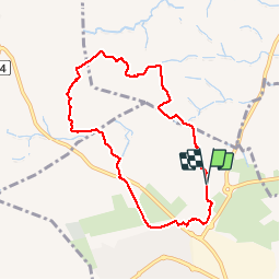

6.7 km | 7.5 km-effort


User


FREE GPS app for hiking
 SityTrail
IGN / Geographical institutes
SityTrail World
The world is yours!
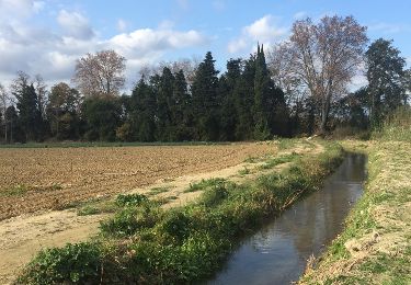
Trail Walking of 8 km to be discovered at Occitania, Pyrénées-Orientales, Saint-Estève. This trail is proposed by jeff66.
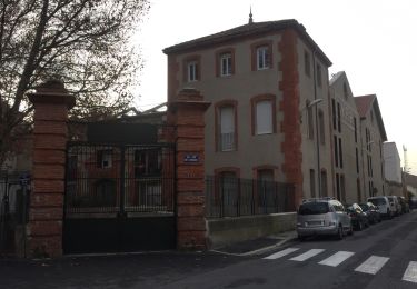
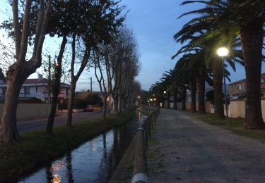
SAINT-ESTEVE 66 - rue Arnaud de Villeneuve - parking clinique Supervaltec - promenade entre Vignes sur cailloutis et oliviers - panorama sur Perpignan, les Albères, le Canigou - Coma de la Baneei - panorama sur Força Réal, la tour Del Far les Corbières - contourner le petit bois de pins en direction d'el Pilo Roig - les Franqueses - El Morterar - passage sur la D45 prendre à droite en direction de Saint-Estève centre - mas de la Garrigue domaine Bobé - parcours sportif dans pinède - site, parc et théâtre de l'Etang - passage par le parking de la clinique de la Pinède - le Trèfle à Quatre Feuilles - l'Estany - clinique Supervaltec


Walking
Walking
Walking
Walking

Walking

Walking
Walking
Walking
Walking
bonne balade Merci