


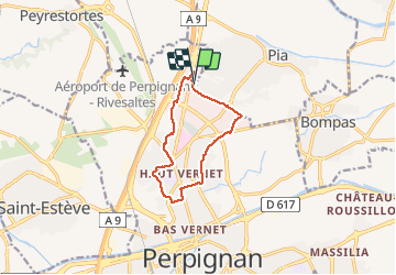

11.1 km | 11.6 km-effort


User


FREE GPS app for hiking
 SityTrail
IGN / Geographical institutes
SityTrail World
The world is yours!
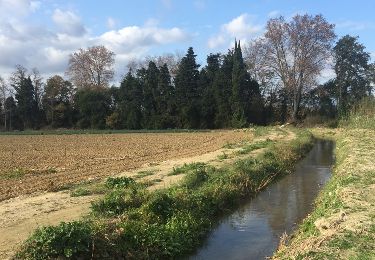
Trail Walking of 10.4 km to be discovered at Occitania, Pyrénées-Orientales, Perpignan. This trail is proposed by jeff66.
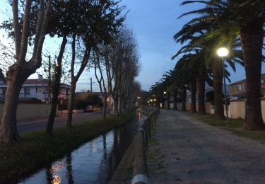
66 PERPIGNAN, polygone Nord, rue JB Biot, Rond point G.Richard, rues Ettore Bugatti - G.Latil, le Petit mas, mas St Joseph domaine Rière-Cadene, Ch. de la Poudrière, mas Pequignot, plaine des jeux André Sanac, clinique St Christophe, allée Aimé Giral, av. du Maréchal Joffre, rues des oiseaux - du soleil, ch. du sacré cœur, rue F.Delclos, av. de l'aérodrome, stade Gilbert Brutus, rues B.Morisot - R. Bonheur - JF Millet - G. MOREAU - F. Léger, ch. des vignes, rue L. Delage, rue H. Delahaye, av. du Languedoc, ctre Commercial


Walking

Walking

Walking

Mountain bike
Walking
Walking
Walking
Walking
Walking